
Power & Utilities · Basra, Iraq
Aerial LiDAR Survey — Al-Wadhaif District
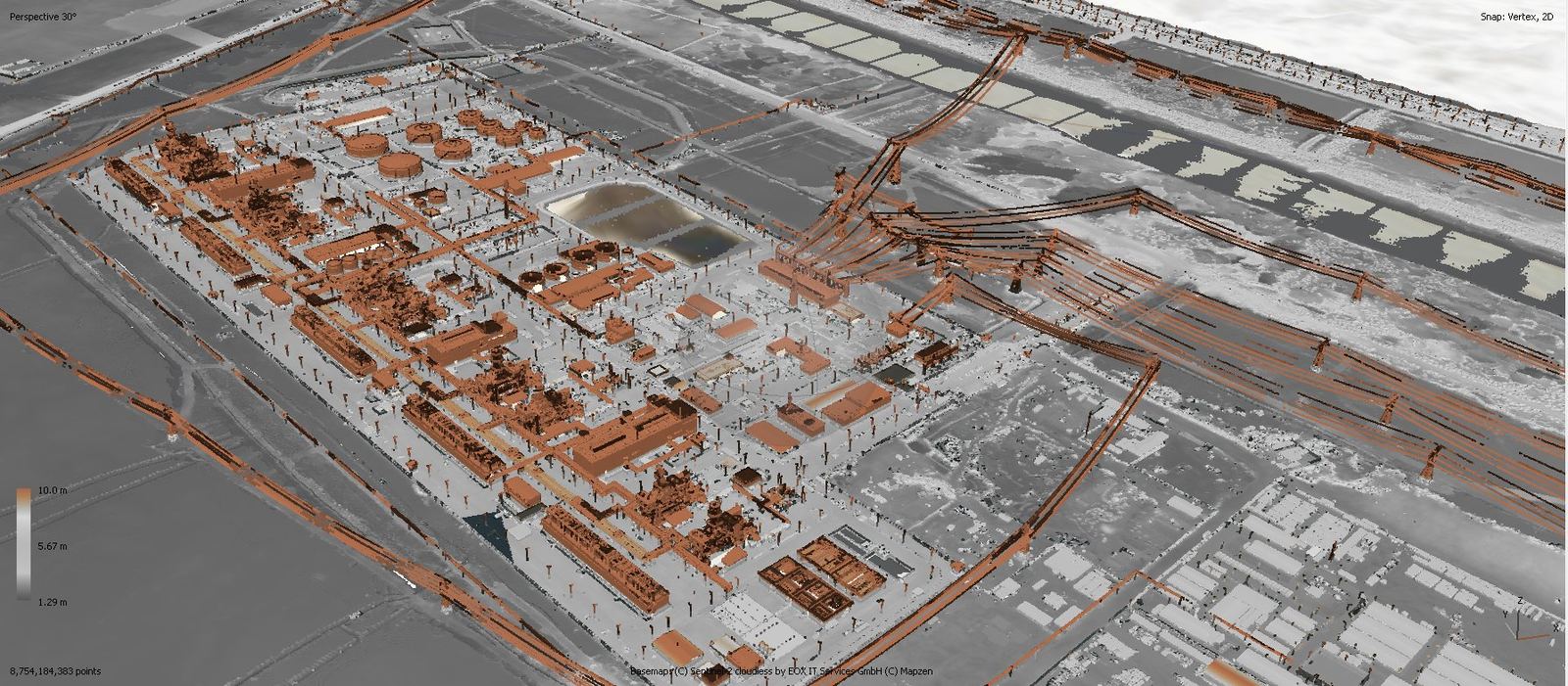
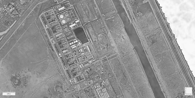
Aerial LiDAR survey and point-cloud generation supporting engineering analysis and site mapping for the Shatt Al-Arab Power Station area, delivered in one month for NB Consultancy.
- Client
- NB Consultancy
- Location
- Basra, Iraq
- Duration
- 1 month
- Status
- Completed
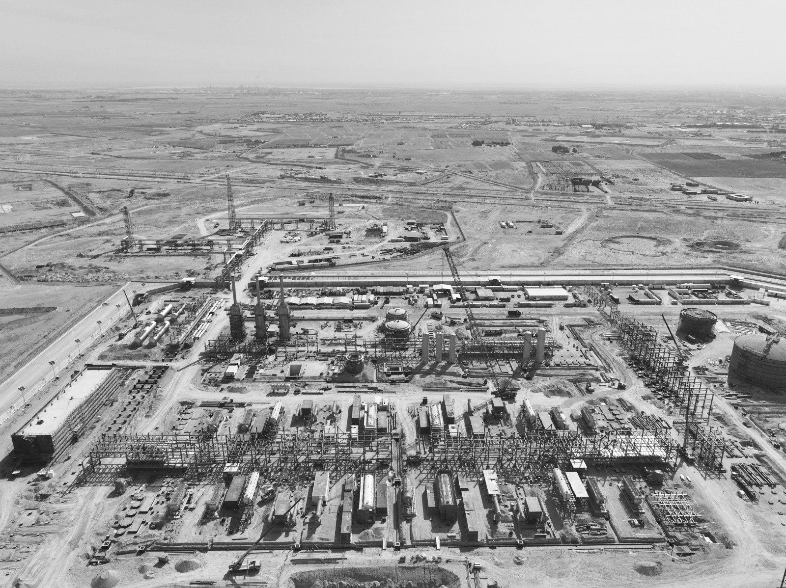
Scope of Work
- Aerial LiDAR survey
- Point cloud generation
- Digital Terrain Model (DTM)
- Geospatial data processing
- Site mapping & analysis
Deliverable comparison
Drag to compare two deliverables from this project.
⇔
Point cloudOrthomosaic modelProject imagery
Click any image to enlarge. Technical deliverables are shown uncropped.
More projects
Related Projects
Oil & Gas
Mansurya, Diyala, Iraq
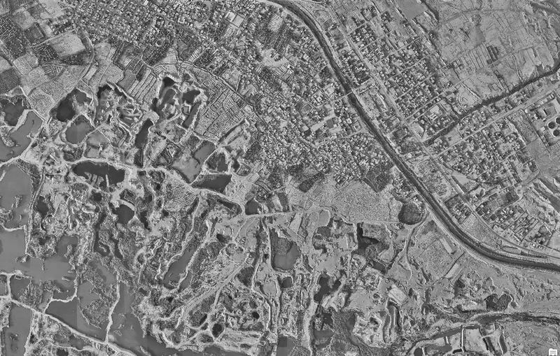
Primary & secondary control points, DEM and point-cloud submission
Client: NMF (New Mansurya FZCO)
Oil & GasOngoing
Rumaila, Basra, Iraq
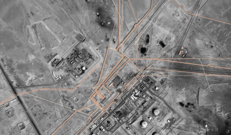
Three-year GIS and survey support for field operations
Client: ROO — Rumaila Oil Field
Oil & Gas
Zubair Field, Basra, Iraq
Two years of periodic aerial photography and UAV progress monitoring
Client: CPECC
Planning a similar project?
Our team can scope a survey, GIS or monitoring programme for your site.