Solutions
Integrated engineering & geospatial solutions
Ten service lines sharing one backbone: accurate field data, modern technology and professional technical reporting.
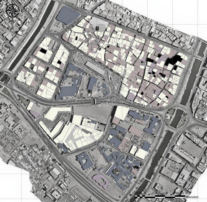
Geospatial & GIS Solutions
Geodatabases, spatial analysis, asset mapping and interactive GIS portals that turn field data into decisions.
Learn more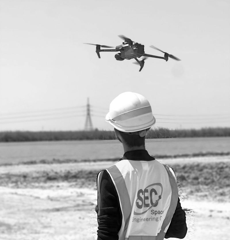
UAV Mapping & Aerial LiDAR
Aerial LiDAR, photogrammetry and progress monitoring with DJI Enterprise platforms and the Zenmuse L2 sensor.
Learn more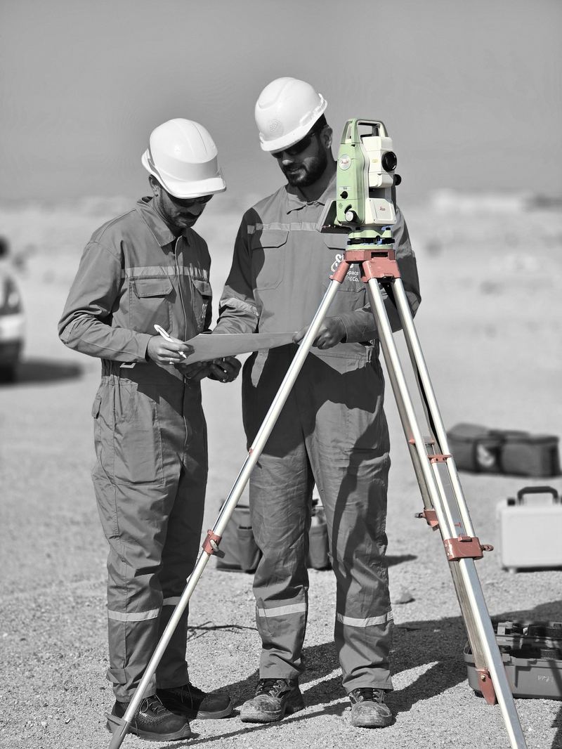
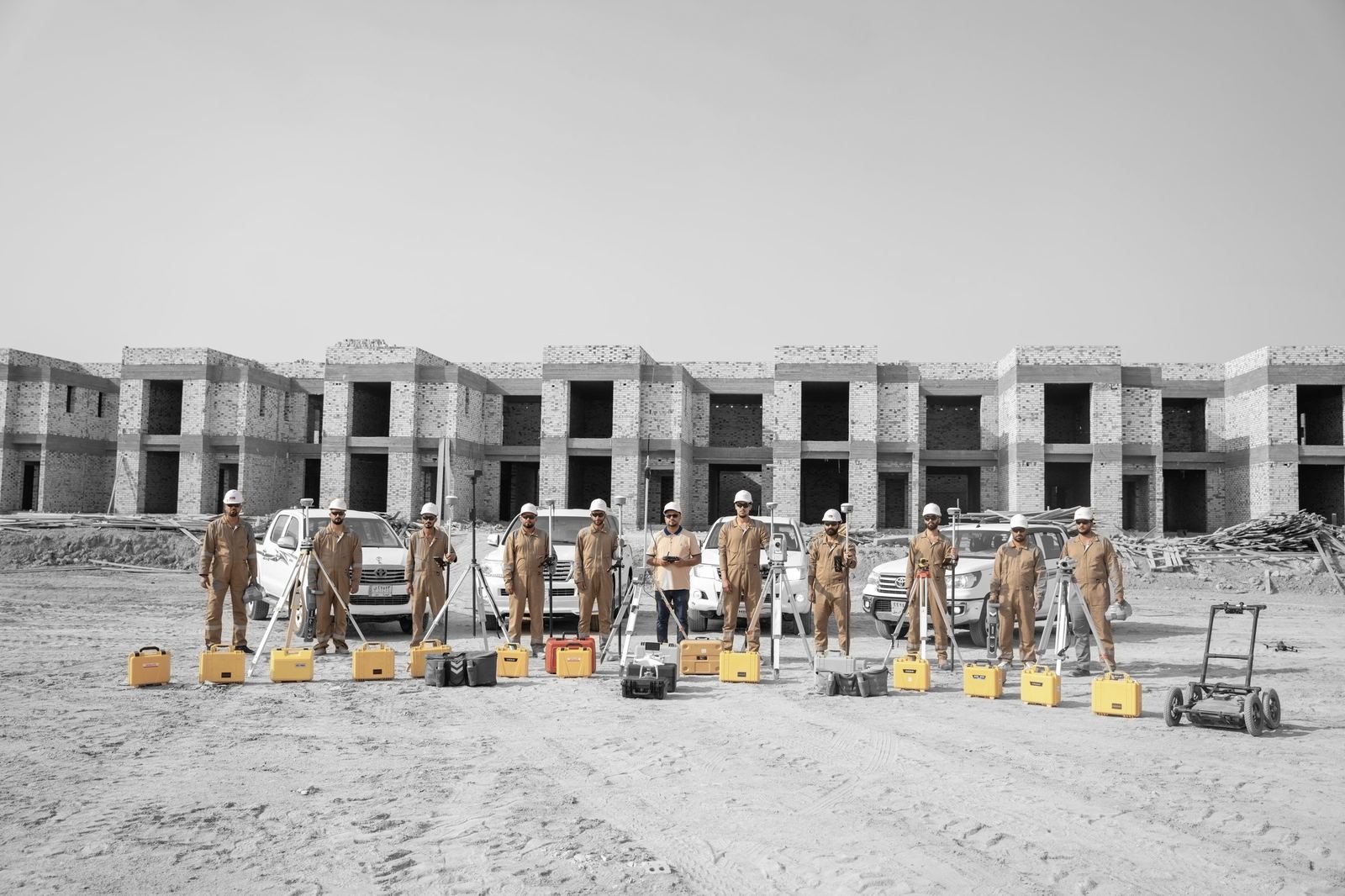
Topographic & GNSS Survey
Control networks, topographic, construction and as-built surveys with RTK GNSS and Leica total stations.
Learn more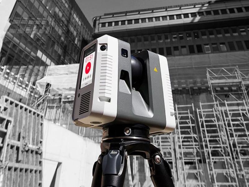
3D Laser Scanning & Digital Twins
Leica RTC360 reality capture for industrial facilities, as-built documentation, BIM and clash detection.
Learn more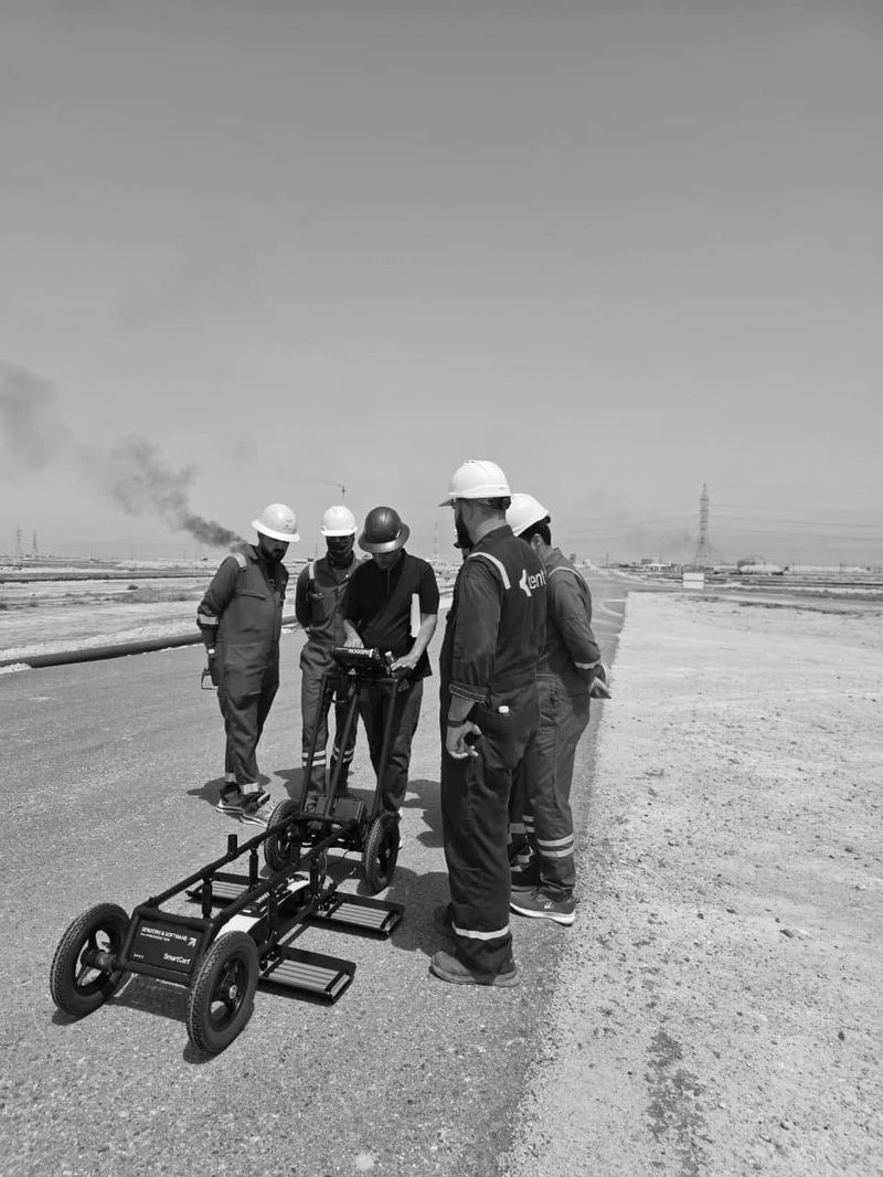
Underground Utility Detection & GPR
Noggin GPR and CAT4+ electromagnetic locating to map buried cables, pipelines and subsurface features before excavation.
Learn more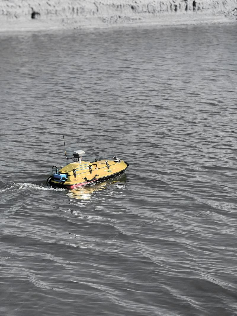
Hydrographic & Bathymetric Survey
USV-based bathymetry for rivers, canals, intakes, pipeline crossings and dredging — from acquisition to volumes.
Learn more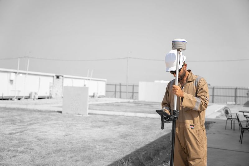
CORS & Positioning Solutions
Continuously Operating Reference Station networks, GNSS correction services and geodetic reference integration.
Learn more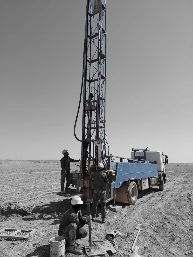
Geotechnical Investigation
Borehole drilling, sampling, in-situ and laboratory testing with engineering evaluation and foundation recommendations.
Learn more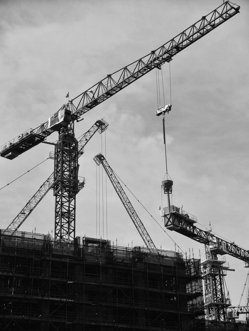
Engineering & Construction
Design consultancy, BIM/3D modelling, PMO support and civil, structural and mechanical construction works.
Learn more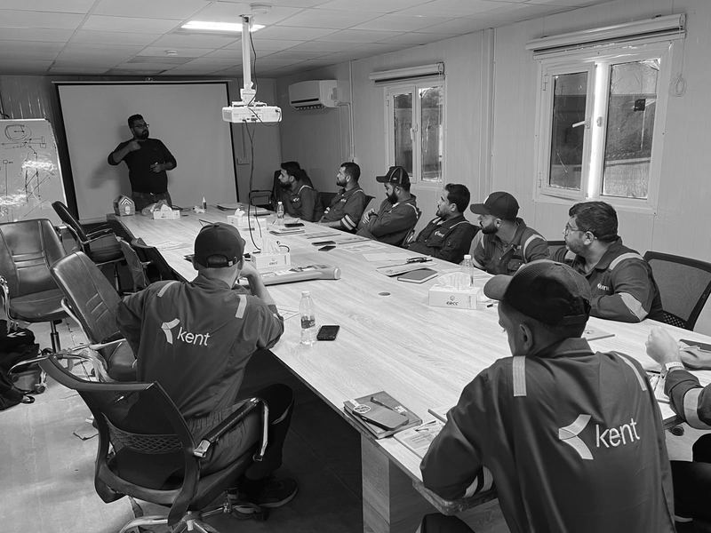
Training & Technical Development
Classroom and practical programmes in surveying, GIS, GPR, planning (Primavera P6) and project management.
Learn moreNot sure which service fits?
Describe the site, the deliverables you need and the timeline — our engineers will propose the right workflow.