
Solution 03 / 10
Topographic & GNSS Survey
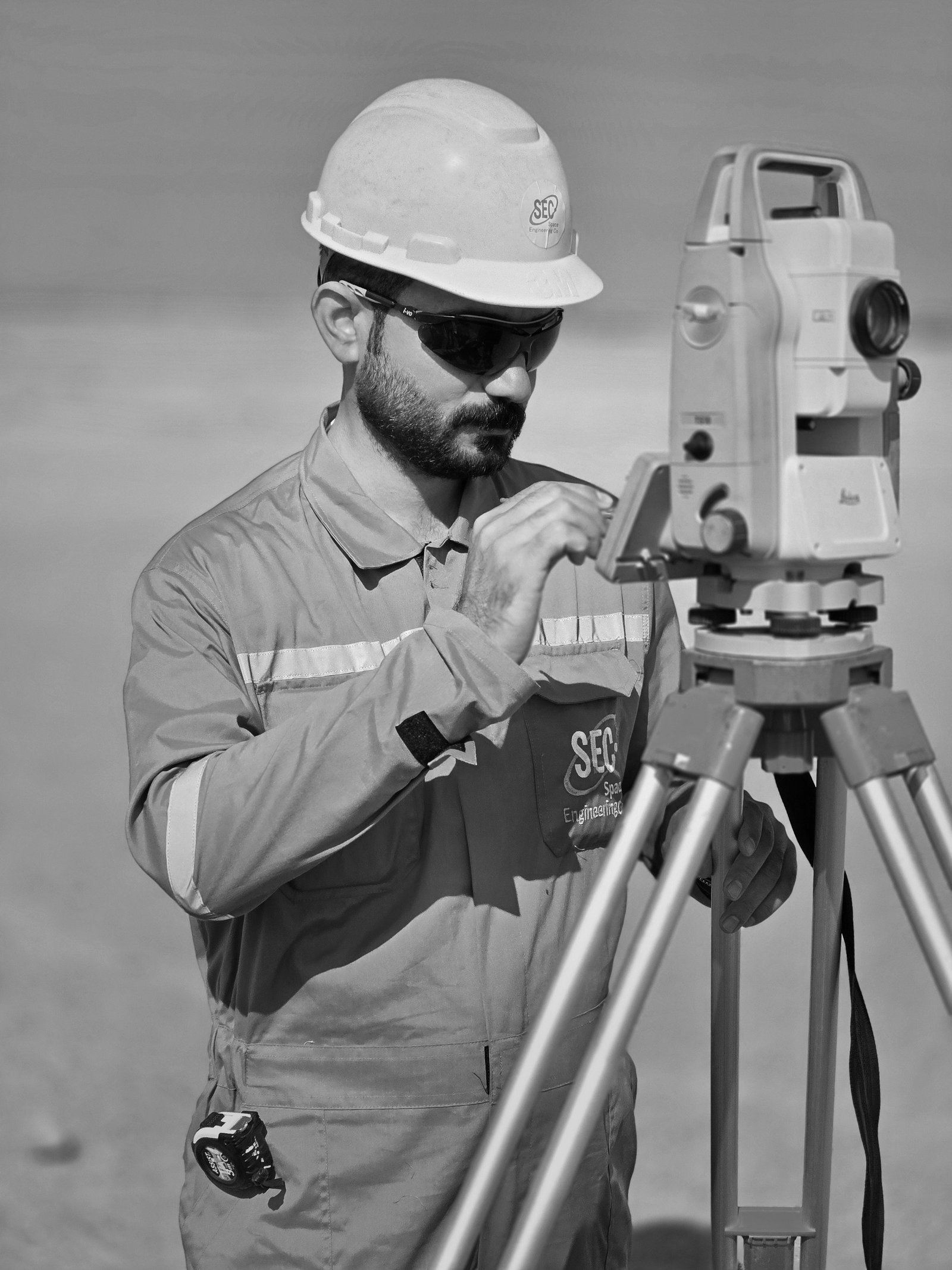
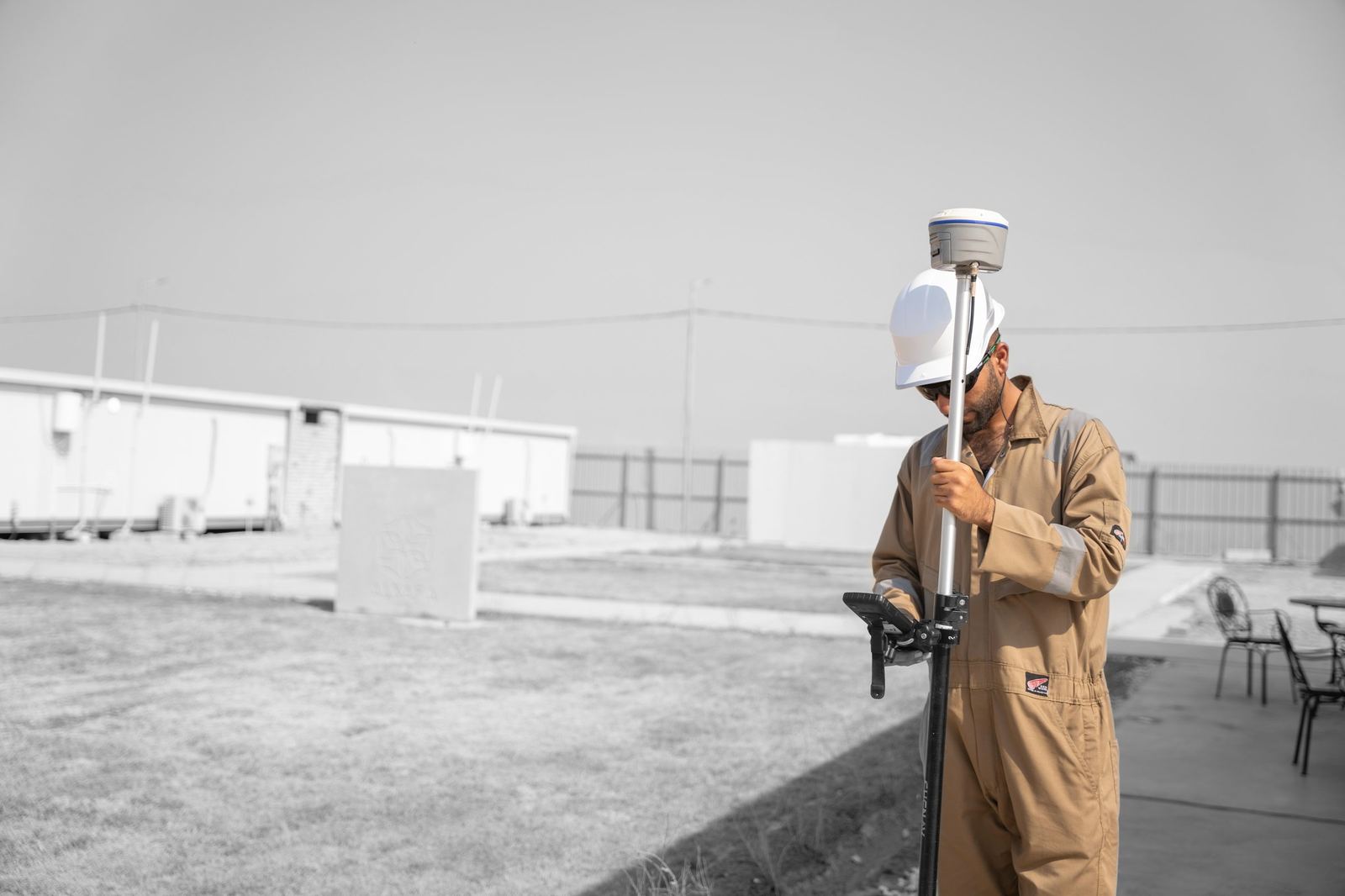
Control networks, topographic, construction and as-built surveys with RTK GNSS and Leica total stations.
Overview
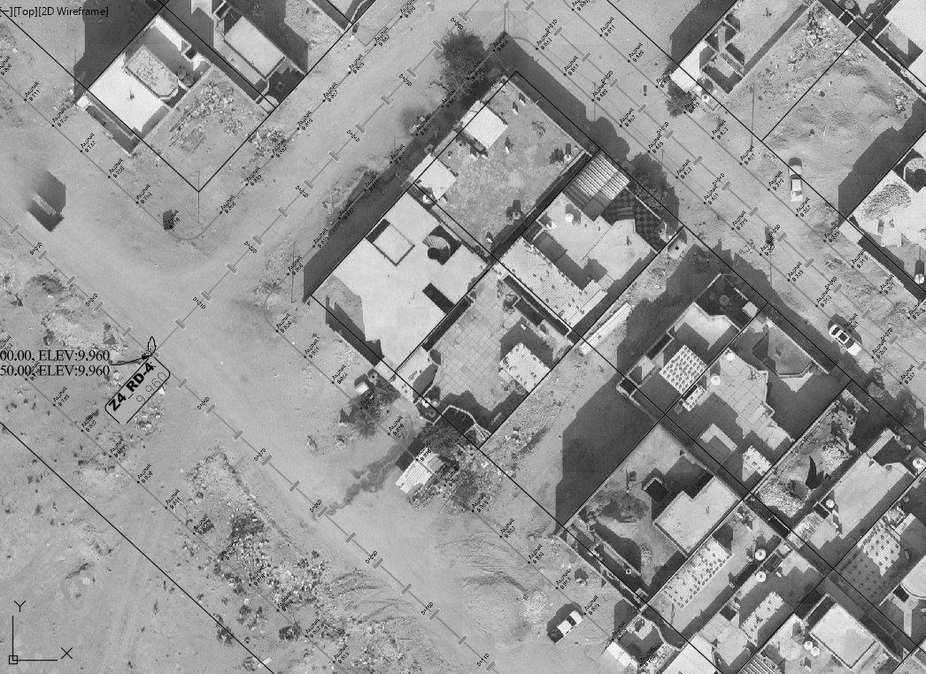
Field surveying is the foundation of every SEC project. Our crews establish primary and secondary control, run topographic and cadastral surveys, support construction layout and produce as-built records. Recent work ranges from 30 benchmarks across a 116 km² gas field to residential subdivision surveys for the Directorate of Basra Municipalities.
Workflow
- 01Datum & controlEstablish and document project control tied to national or client datums.
- 02Field acquisitionRTK GNSS and total-station observation with redundancy checks.
- 03Office processingAdjustment, drafting in CAD/GIS and QA/QC.
- 04DeliverablesDrawings, coordinate schedules and survey reports.
Industrial Applications
- Primary & secondary control networks
- Topographic and cadastral survey
- Construction layout and as-built survey
- Residential subdivision and parcel definition
- Precision dimensional control for piping and mechanical installation
Deliverables
- Control point monographs and benchmark schedules
- Topographic drawings (CAD/GIS)
- As-built and verification reports
Technology
- RTK GNSS receivers
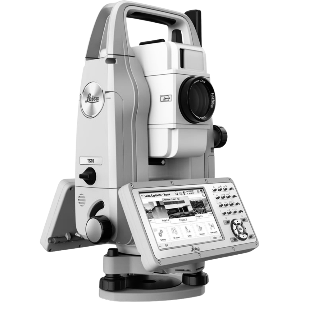
- Leica TS10 total station
- Leica RTC360 for dimensional verification


Content derived from SEC Profile 2026, pages p.19, p.27, p.39–40, p.47.
Case studies
Related Projects
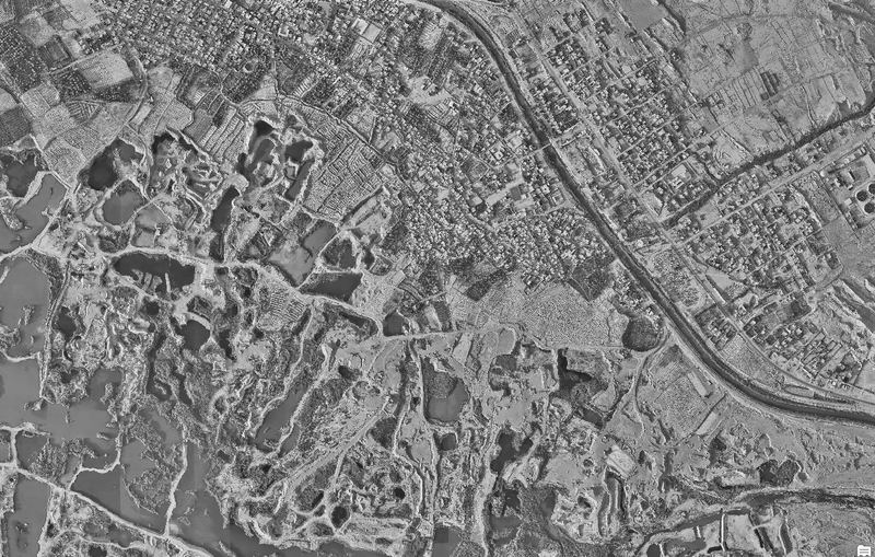
Oil & Gas
Mansurya, Diyala, Iraq
Primary & secondary control points, DEM and point-cloud submission
Client: NMF (New Mansurya FZCO)
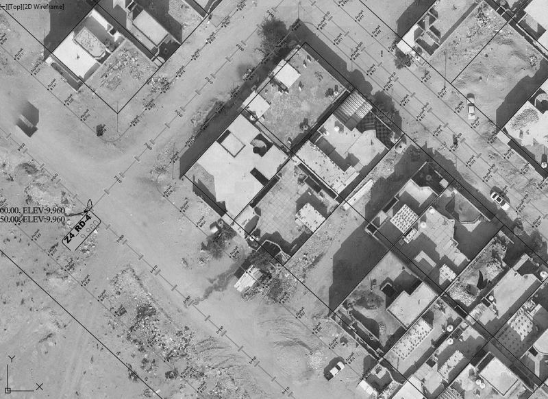
Urban & Municipal
Umm Qasr, Basra, Iraq
Land allocation survey for the Directorate of Basra Municipalities
Client: Directorate of Basra Municipalities
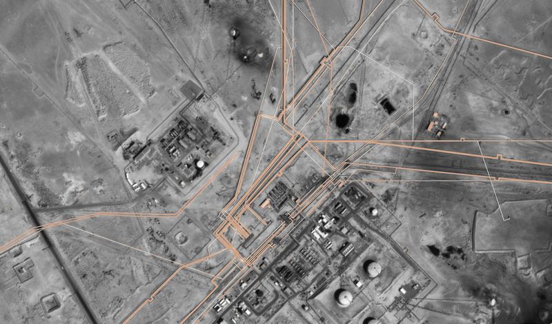
Oil & GasOngoing
Rumaila, Basra, Iraq
Three-year GIS and survey support for field operations
Client: ROO — Rumaila Oil Field
Request a quotation
Send us the site location, required deliverables and timeline. We respond within two working days.