
Solution 01 / 10
Geospatial & GIS Solutions
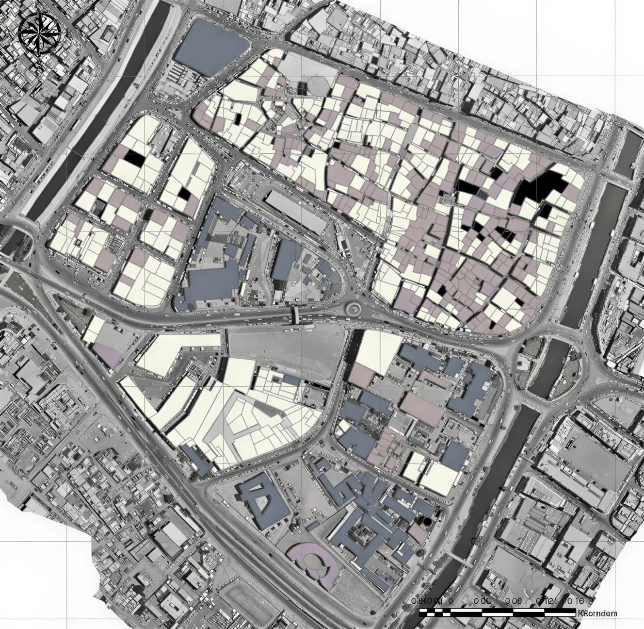
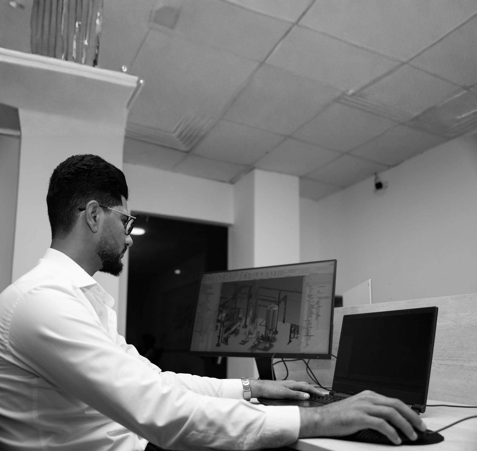
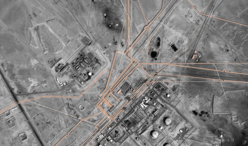
SEC designs and maintains GIS environments for oil & gas operators, municipalities and engineering consultants. From geodatabase schema and survey-data integration to interactive portals with dashboards and field data collection, our GIS team supports infrastructure planning, asset management and day-to-day engineering operations. Our longest-running engagement is a multi-year GIS support contract across the Rumaila oil field, covering database development, infrastructure asset mapping and spatial data management.
Workflow
- 01Requirements & data modelDefine the geodatabase schema, coordinate reference system and data standards with the client.
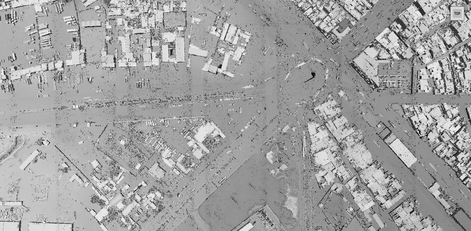
- 02Survey integrationIntegrate GNSS, total-station, UAV and LiDAR deliverables into the geodatabase.
- 03Processing & analysisSpatial analysis, cartography and quality control of attributes and topology.
- 04Portal & handoverPublish interactive maps, dashboards and reports; train client users; maintain the system.
Industrial Applications
- Oilfield infrastructure & pipeline mapping
- Urban planning and land-use mapping
- Utility and asset inventories
- Road network and infrastructure surveys
- Field data collection and dashboards
Deliverables
- Geodatabases and spatial datasets
- Digital maps and cartographic products
- Asset & infrastructure inventories
- Interactive GIS portals, dashboards and reports
Technology
- GIS desktop & server platforms
- Geodatabase development
- RTK GNSS field data capture
- Interactive web maps & dashboards
Content derived from SEC Profile 2026, pages p.33–34, p.41–42.
Case studies
Related Projects
Oil & GasOngoing
Rumaila, Basra, Iraq
Three-year GIS and survey support for field operations
Client: ROO — Rumaila Oil Field
Urban & Municipal
Basra, Iraq
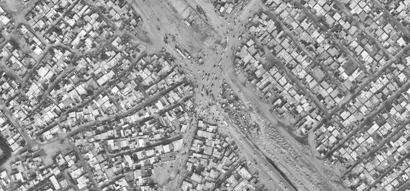
Urban area mapping for infrastructure and urban planning
Client: Dewan Architects + Engineers
Urban & Municipal
Umm Qasr, Basra, Iraq
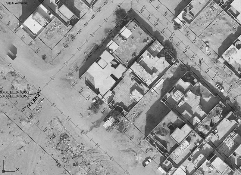
Land allocation survey for the Directorate of Basra Municipalities
Client: Directorate of Basra Municipalities
Request a quotation
Send us the site location, required deliverables and timeline. We respond within two working days.