
Solution 05 / 10
Underground Utility Detection & GPR
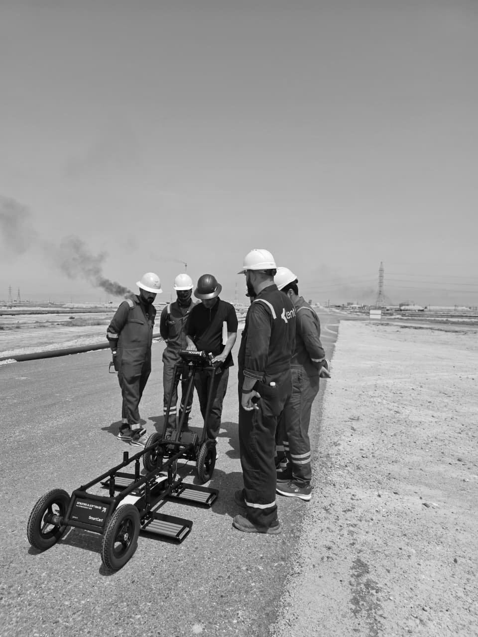
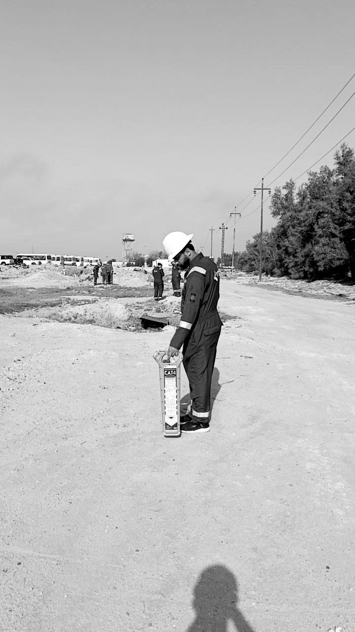
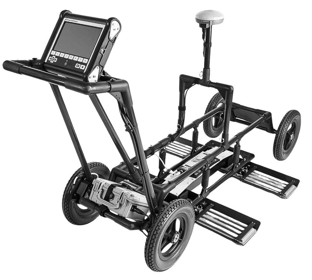
Noggin GPR and CAT4+ electromagnetic locating to map buried cables, pipelines and subsurface features before excavation.
Overview
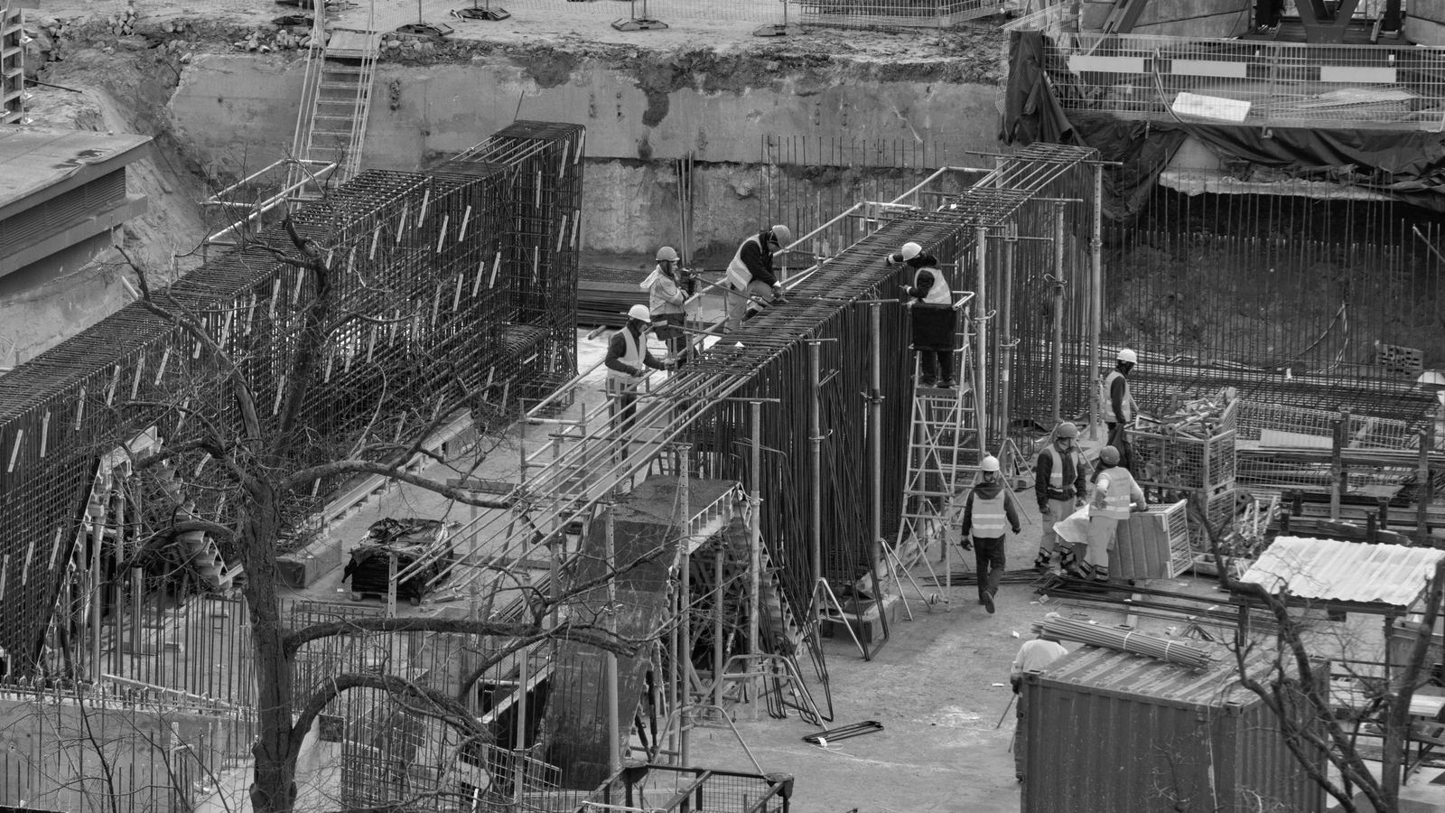
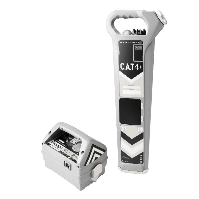
SEC combines ground penetrating radar (Noggin GPR) with CAT4+ cable detection to locate and map buried utilities, concrete reinforcement and subsurface anomalies. Results are delivered as georeferenced utility maps integrated into the project GIS — reducing strike risk on brownfield oil & gas sites and urban infrastructure works. SEC has also delivered GPR and CAT4+ training within a multi-discipline workforce development programme.
Technology
- Noggin ground penetrating radar
- CAT4+ cable detector
- RTK GNSS positioning
Content derived from SEC Profile 2026, pages p.19, p.51, p.59–60.
Workflow
- 01Desk studyReview of existing records and site constraints.
- 02EM locatingCAT4+ sweep for live and signal-traced services.
- 03GPR surveyGridded Noggin GPR acquisition and marking.
- 04MappingRTK positioning of detections; CAD/GIS utility map.
Industrial Applications
- Pre-excavation utility clearance
- Brownfield oil & gas sites
- Concrete scanning and rebar detection
- Urban utility mapping
Deliverables
- Georeferenced utility maps (CAD/GIS)
- GPR profiles and interpretation report
- On-site marking
Case studies
Related Projects

Request a quotation
Send us the site location, required deliverables and timeline. We respond within two working days.