Solution 07 / 10
CORS & Positioning Solutions
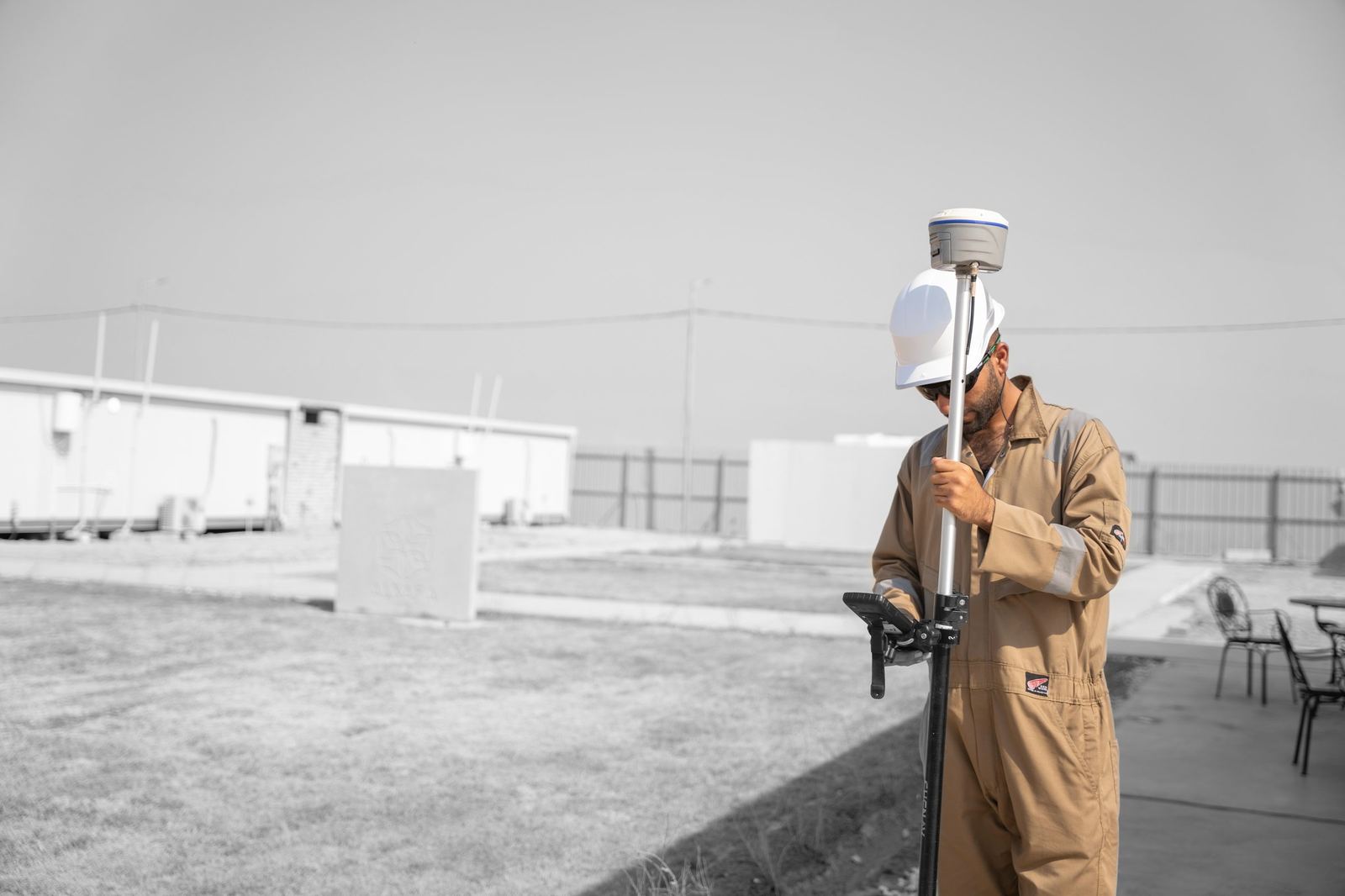
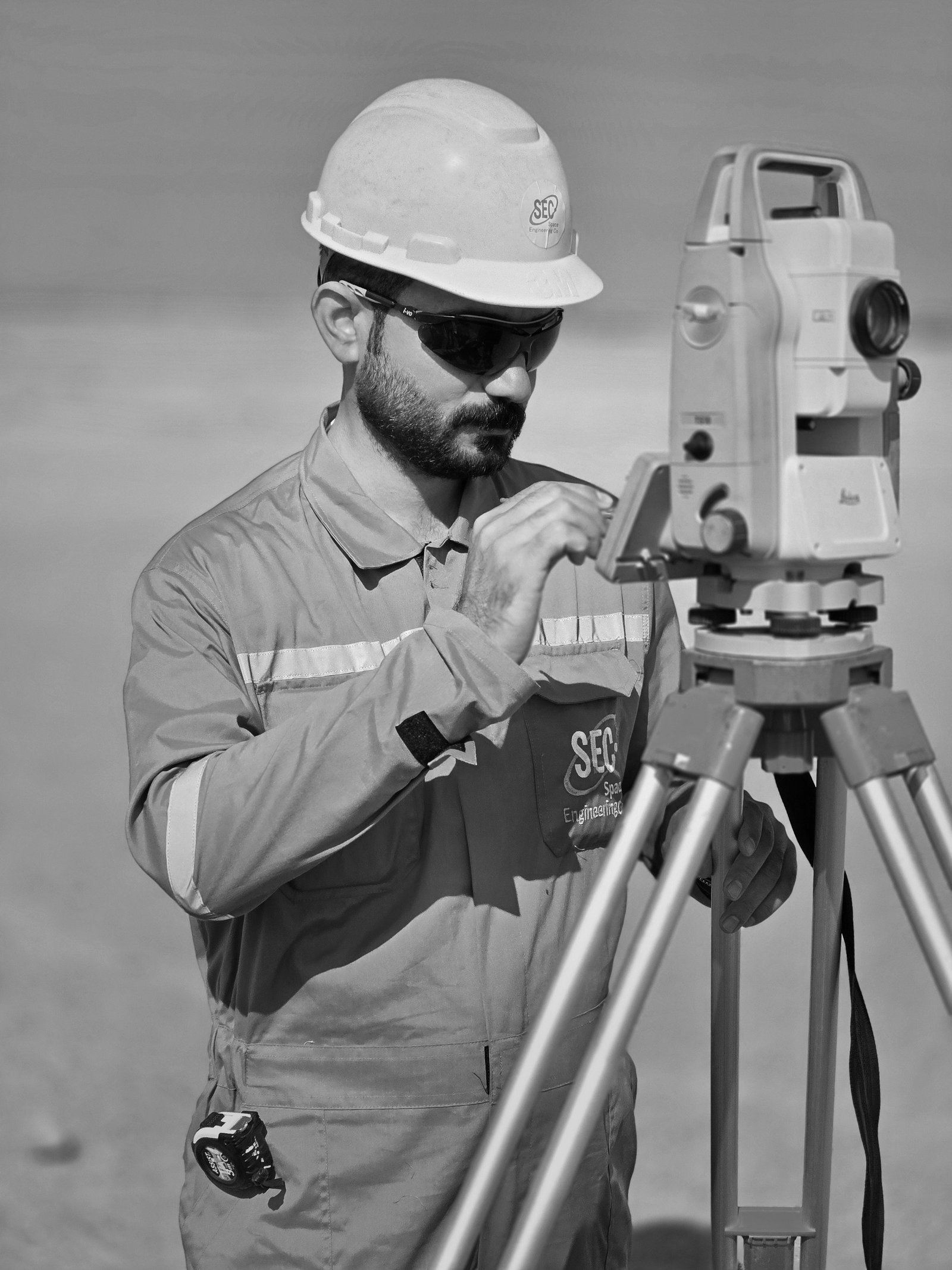
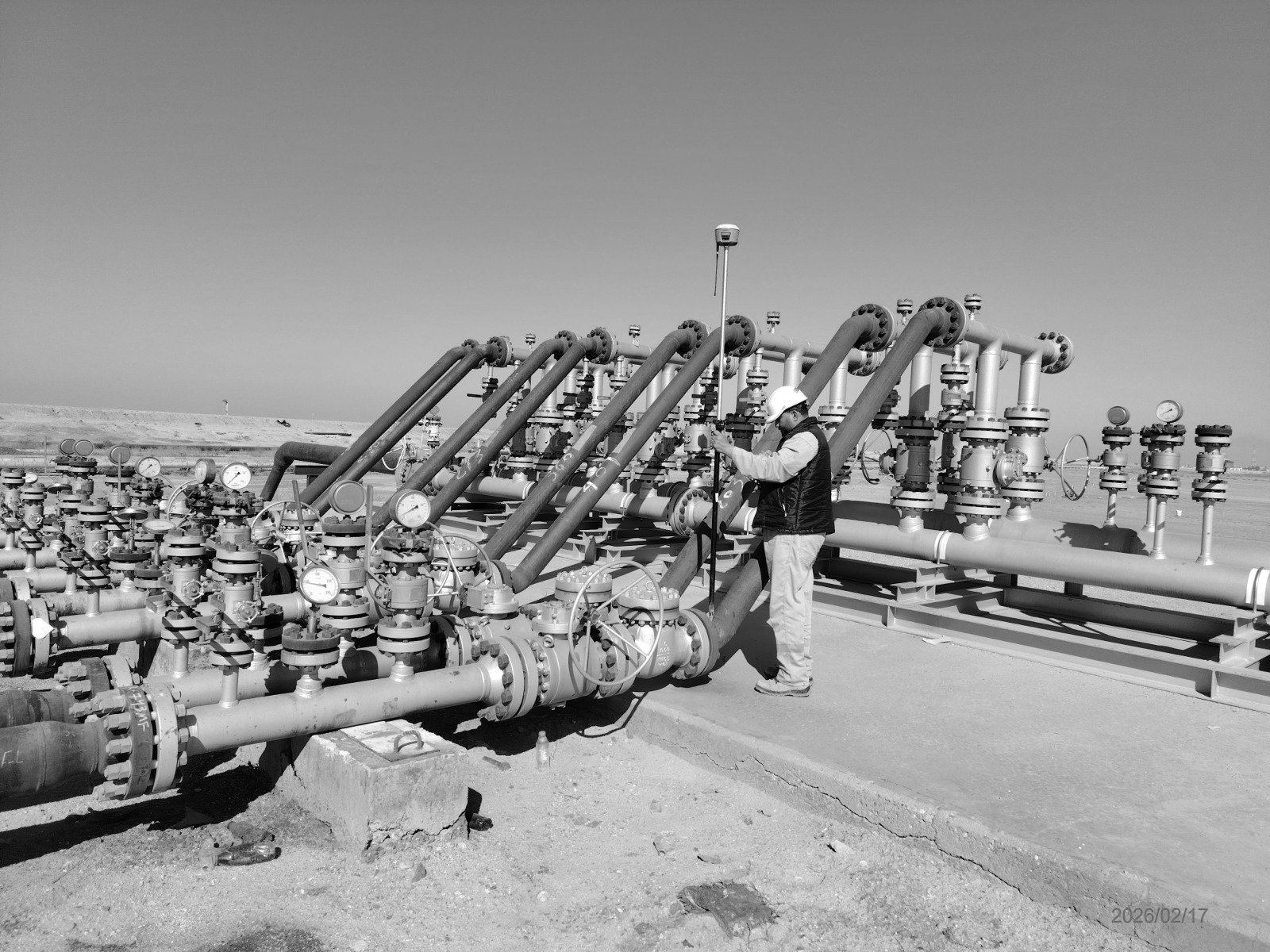
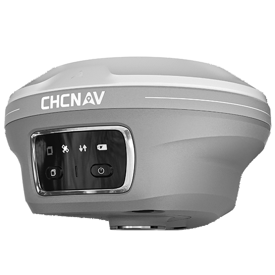
SEC provides CORS network infrastructure and GNSS correction services supporting real-time kinematic (RTK) positioning for surveying, mapping and infrastructure projects. Our services include geodetic reference network integration, survey control and monitoring systems, GNSS data processing and management, and accuracy enhancement for spatial datasets.
Workflow
- 01Network designSite selection, coverage planning and datum definition.
- 02InstallationReceiver, antenna, power and communications deployment.
- 03Processing & servicesCoordinate computation, correction streams, monitoring.
- 04OperationOngoing management, data archiving and support.
Industrial Applications
- RTK correction for survey and construction fleets
- Geodetic control for large projects
- Deformation and structural monitoring
- Machine control and precision agriculture
Deliverables
- CORS infrastructure and coordinates
- Correction service access and monitoring reports
- Geodetic reference documentation
Technology
- GNSS reference receivers and antennas
- RTK/NTRIP correction services
- GNSS post-processing software
Content derived from SEC Profile 2026, pages p.29–30.
Request a quotation
Send us the site location, required deliverables and timeline. We respond within two working days.