Solution 06 / 10
Hydrographic & Bathymetric Survey
USV-based bathymetry for rivers, canals, intakes, pipeline crossings and dredging — from acquisition to volumes.
Overview
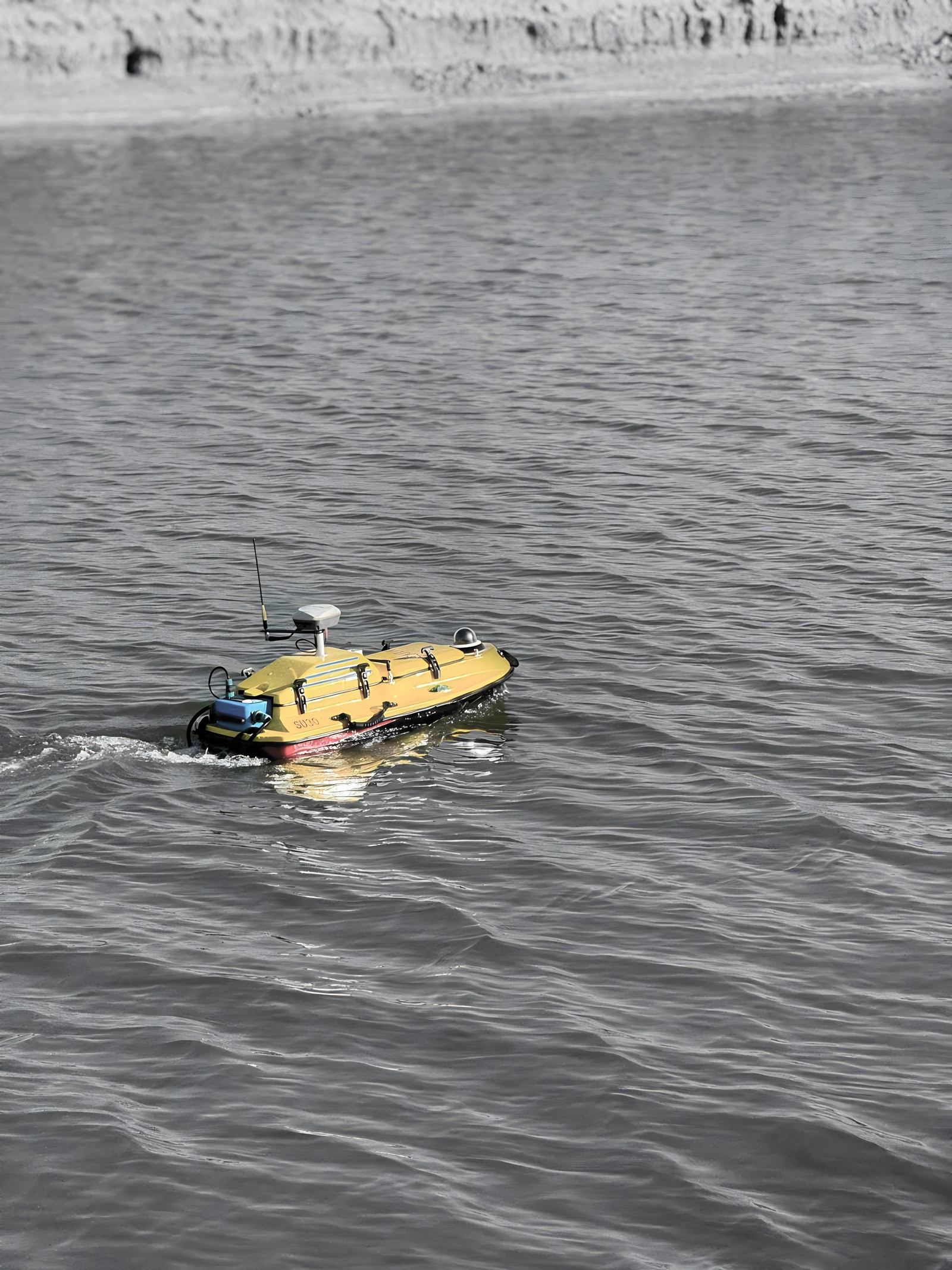
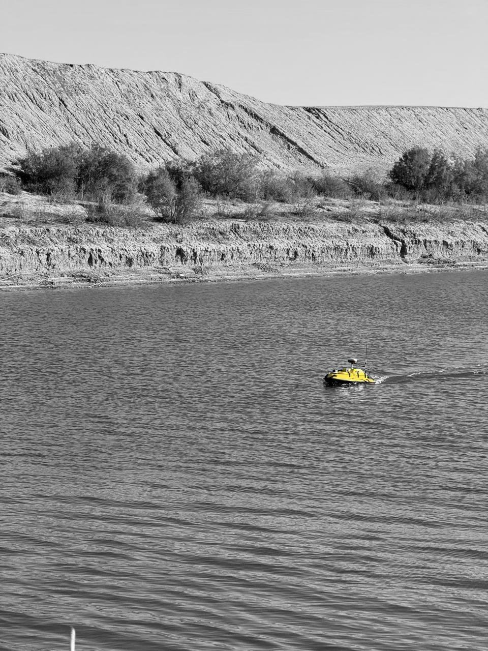
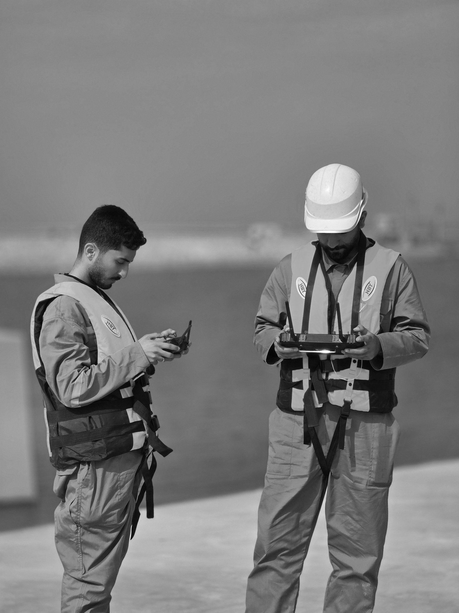
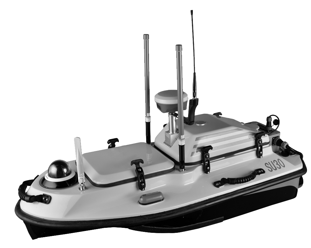
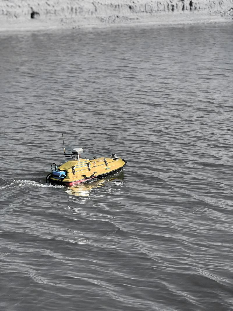
With the South Poseidon SU30 autonomous USV and RTK/GNSS positioning, SEC maps riverbeds, canals and nearshore environments. Our hydrographic workflow covers survey-line planning, water-level monitoring, data cleaning and validation, digital bathymetric models, cross-sections and dredging volume calculations. We completed a bathymetric survey and hydrographic mapping of the Siwan River in collaboration with NMF.
Workflow
- 01Control & planningHorizontal/vertical control, datum management, survey-line and cross-section planning.
- 02AcquisitionUSV sounding with RTK/GNSS positioning and water-level monitoring.
- 03ProcessingOutlier detection, position/depth correction, QC.
- 04Modelling & outputsDigital bathymetric model, contours, profiles, cut & fill volumes.
Industrial Applications
- Water intake & outfall structures
- Pipeline & river crossings
- Pre- and post-dredging surveys
- Ports, canals, reservoirs & waterways
Deliverables
- 2D/3D bathymetric maps and depth contours
- Longitudinal & cross-sectional profiles
- Dredging volume calculations and engineering reports
Technology
- South Poseidon SU30 autonomous USV
- RTK GNSS positioning
- Hydrographic processing software
Content derived from SEC Profile 2026, pages p.31–32, p.48, p.60.
Case studies
Related Projects
Request a quotation
Send us the site location, required deliverables and timeline. We respond within two working days.