Engineering Precision. Geospatial Intelligence.
Mapping Reality.
Engineering the Future.
SEC is an Iraqi engineering and geospatial technology company in Basra. We turn field measurement — LiDAR, GNSS, laser scanning, GPR and hydrographic survey — into engineering-ready spatial data for oil & gas, infrastructure and public clients.
- LiDAR mapped in one campaign
- 116 km²
- LiDAR mapped in one campaign
- Established in Basra
- 2022
- Established in Basra
- Trainees in one programme
- 80
- Trainees in one programme
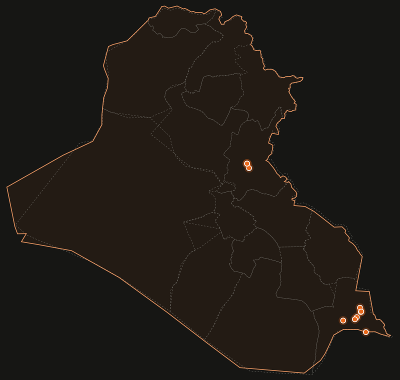
Approximate location
What makes SEC different
Field engineering and geospatial data under one roof
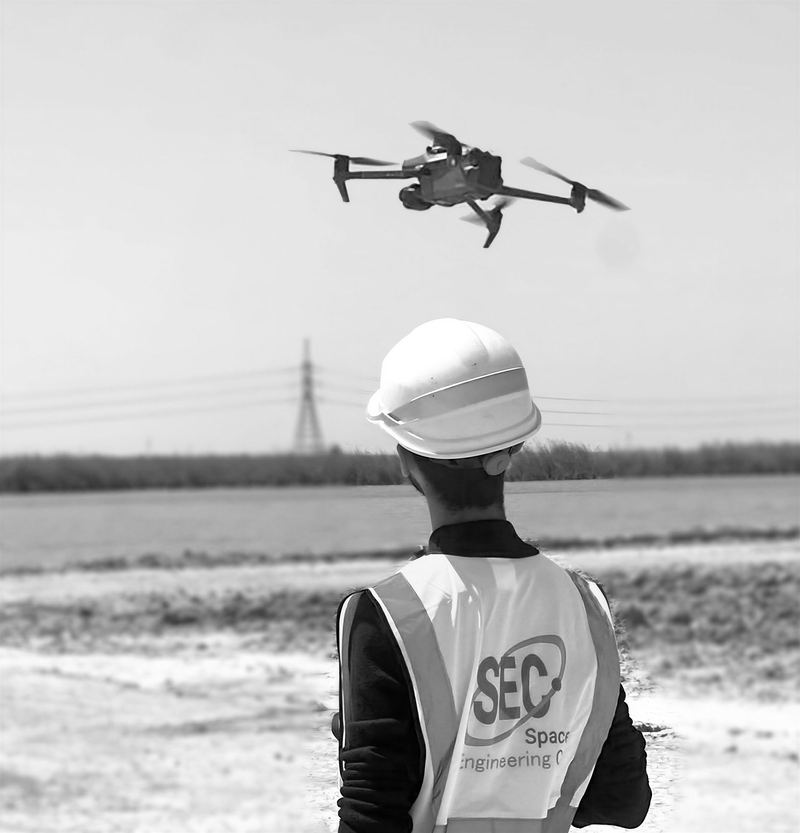
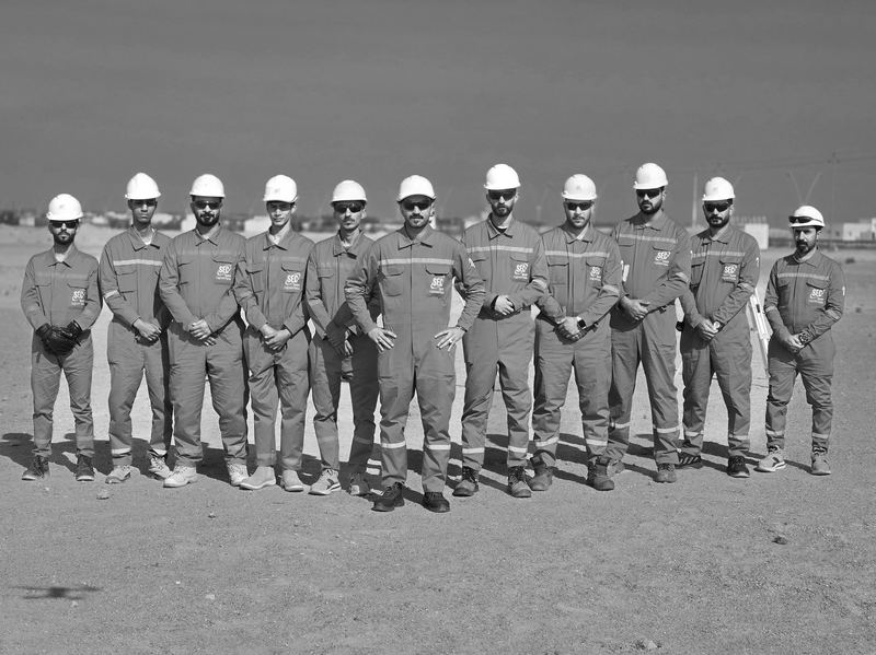
Since 2022 we have delivered surveying, GIS, UAV & LiDAR mapping, scanning, geotechnical and construction scopes for operators, EPC contractors and government in Iraq — and trained their teams on the same equipment we fly and run.
- Engineering services providerHSE-led field crews executing survey, geotechnical, engineering and construction scopes.
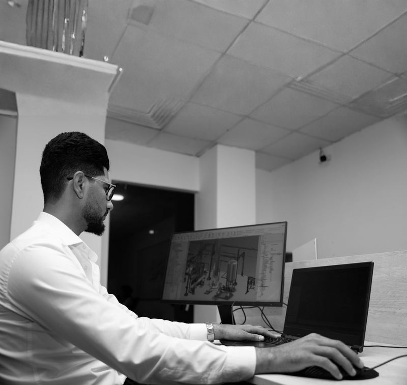
- Geospatial technology companyPoint clouds, orthomosaics, terrain models, geodatabases and GIS portals engineers can act on.
- Technology distribution partnerA trading division, trained operators and an industrial customer base in Iraq's oilfields.
Where we work
Nine verified projects, one interactive atlas
Filter by region, industry, service or technology. Markers show the general project area only.
Featured projects
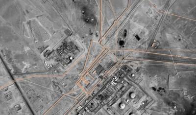
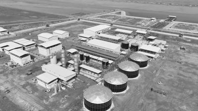
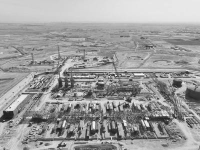
116 km² of gas-field terrain, captured in two months
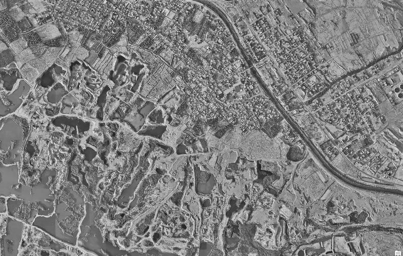
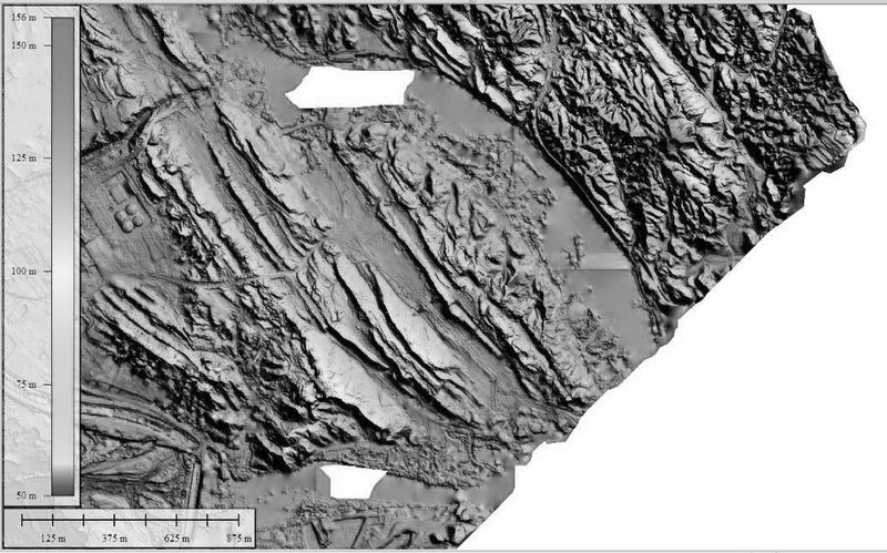
Aerial Topography Survey — New Mansurya Gas Field
Integrated surveying, engineering and geospatial support for gas-field infrastructure development: 116 km² of LiDAR topographic survey, 30 benchmarks, 73 geotechnical boreholes and GIS & environmental data processing — delivered in two months.
Technologies we operate
Powered by precision
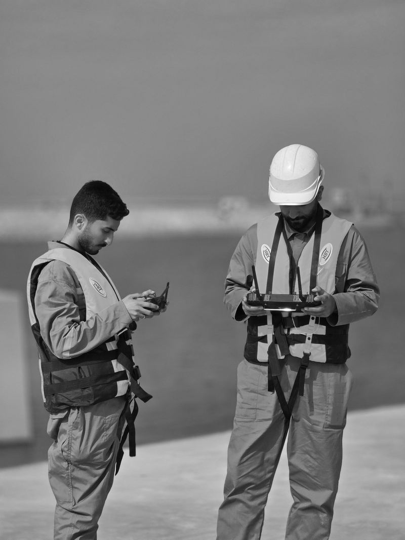
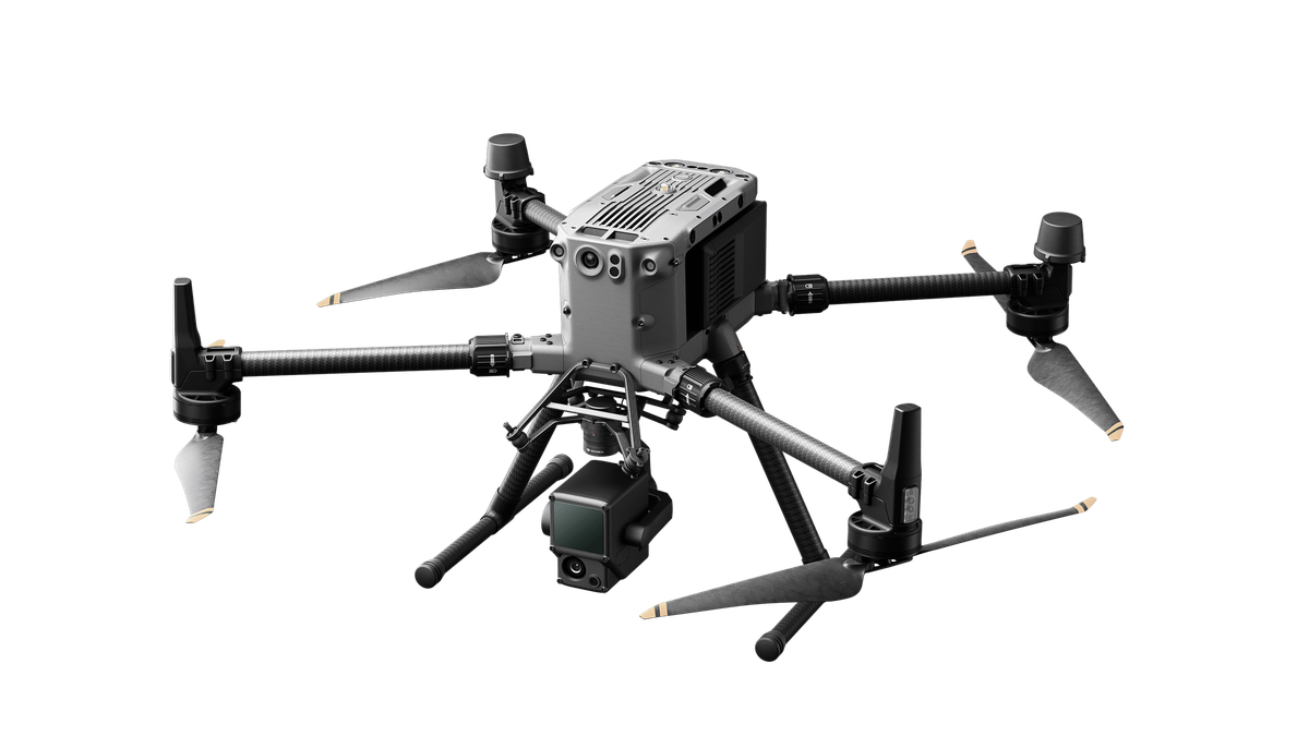
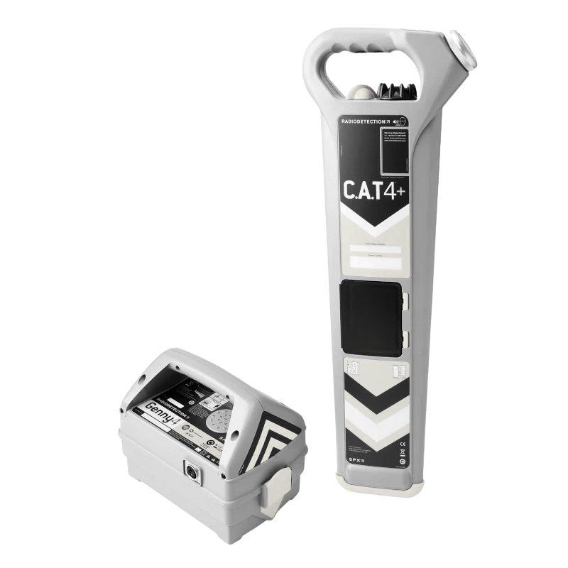
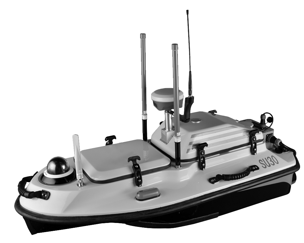
Aerial LiDAR, terrestrial laser scanning, GNSS, GPR and an autonomous hydrographic platform — operated by SEC's own trained teams, not subcontracted.
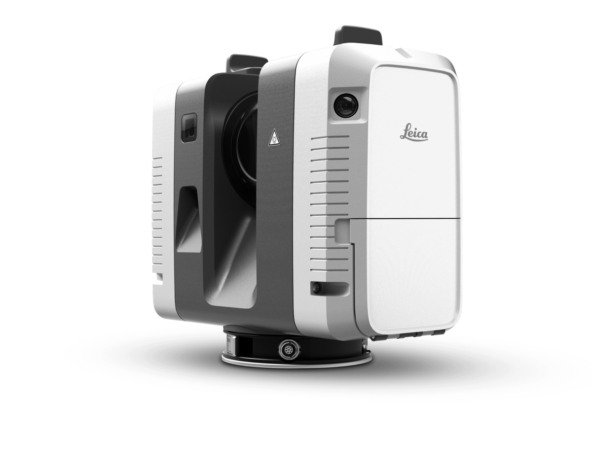
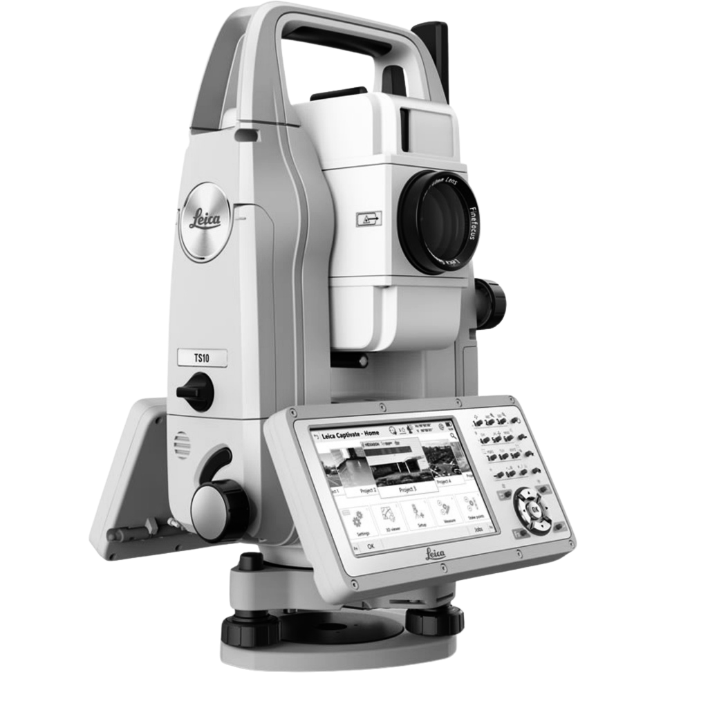
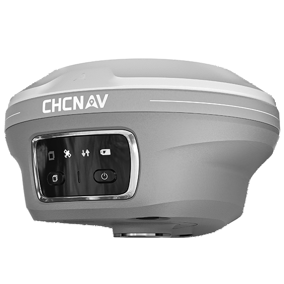
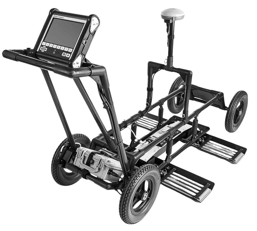
Solutions
Ten service lines, one geospatial backbone
- 01Geospatial & GIS Solutions
- 02UAV Mapping & Aerial LiDAR
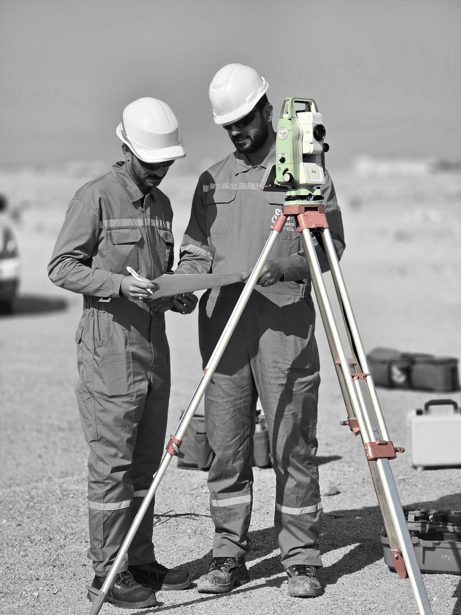
- 03Topographic & GNSS Survey
- 043D Laser Scanning & Digital Twins
- 05Underground Utility Detection & GPR
- 06Hydrographic & Bathymetric Survey
- 07CORS & Positioning Solutions
- 08Geotechnical Investigation
- 09Engineering & Construction
- 10Training & Technical Development
Verified experience
Trusted by operators, contractors and government
Figures from SEC's 2026 company profile. Every project on this site is a documented reference.
- 60
- employees
- 48
- projects
- 32
- clients
- 2022Company establishment
- 2023Engineering & survey expansion
- 2024Advanced technology integration
- 2026Integrated engineering growth






- Commitment to safe work practices
- Compliance with HSE standards & procedures
- Qualified & safety-oriented workforce
- Continuous quality control & inspection
Let's work together
Request a quotation for your site, or talk to us about representing your technology in Iraq.