
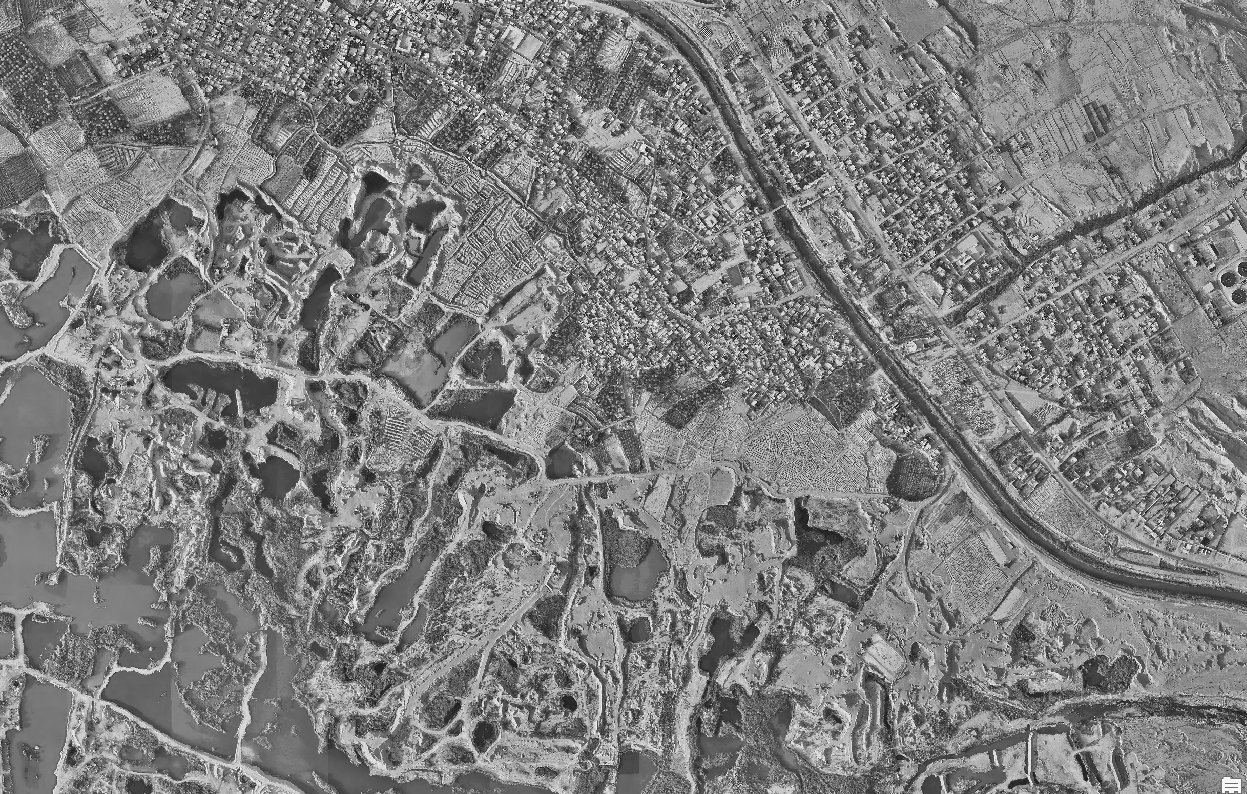
Solution 02 / 10
UAV Mapping & Aerial LiDAR
Aerial LiDAR, photogrammetry and progress monitoring with DJI Enterprise platforms and the Zenmuse L2 sensor.
Overview
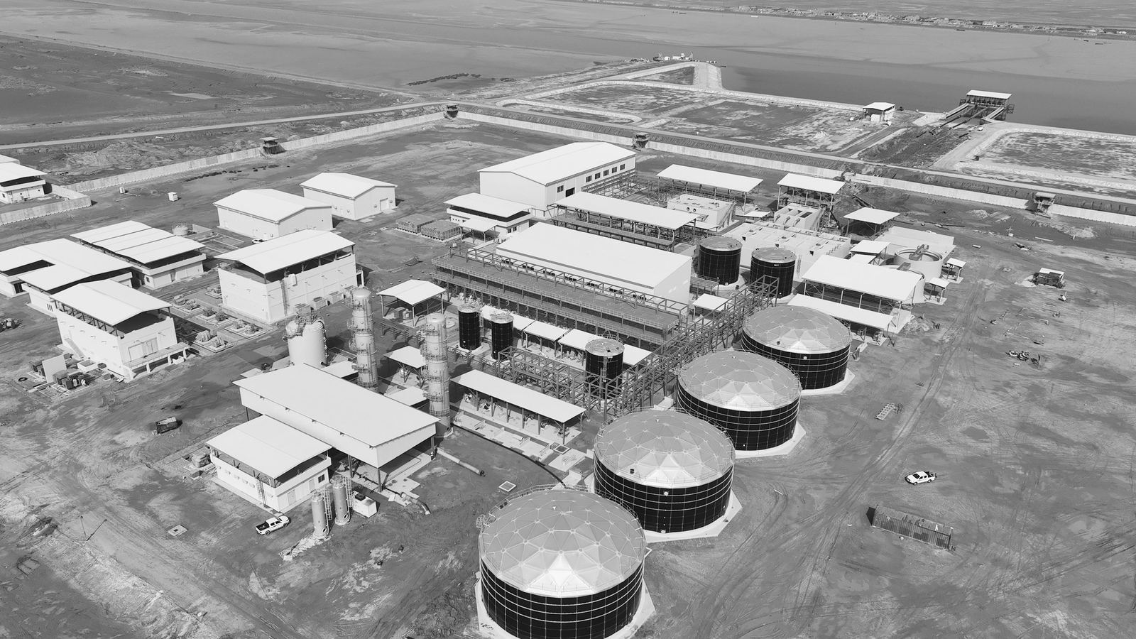
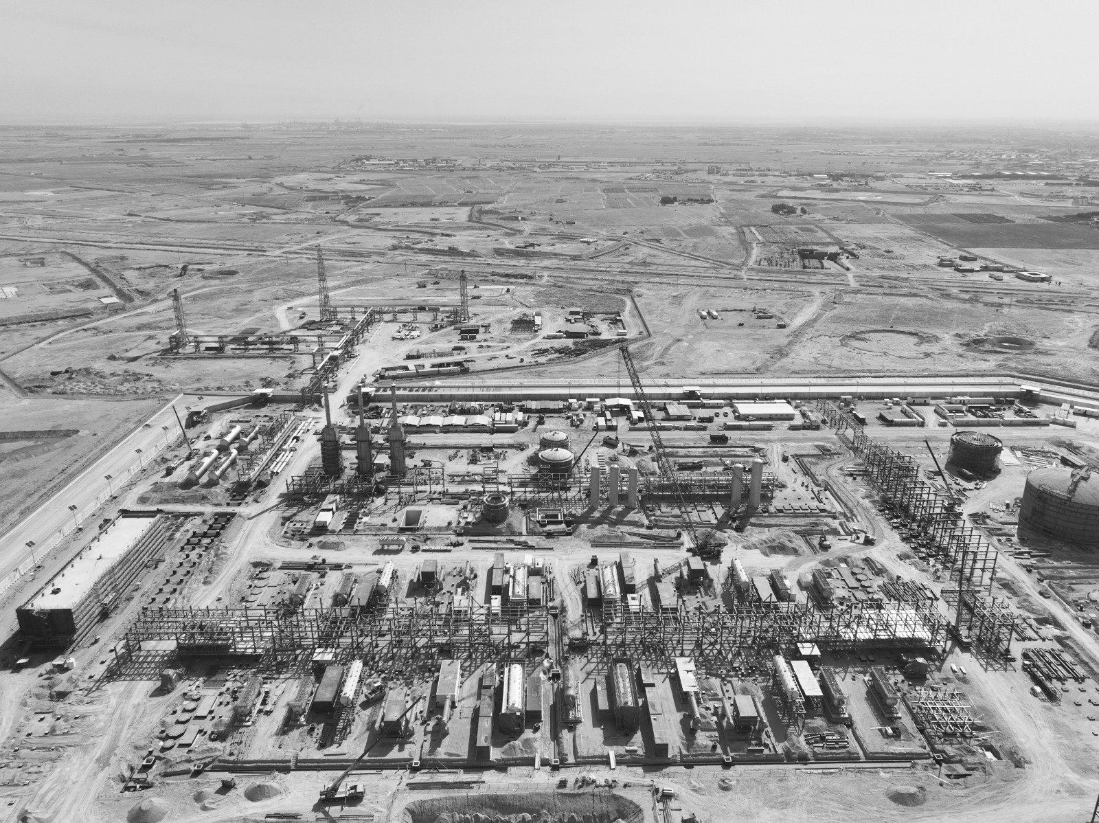
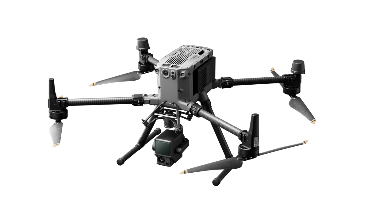
SEC operates DJI Enterprise UAV systems with the Zenmuse L2 aerial LiDAR to capture terrain, corridors and construction sites at scale. We have surveyed 116 km² of gas-field terrain by LiDAR in a single two-month campaign, delivered multi-year monthly aerial progress monitoring for oilfield expansion projects, and produced orthomosaics, DTMs/DSMs and classified point clouds for power, urban and industrial clients across Iraq.
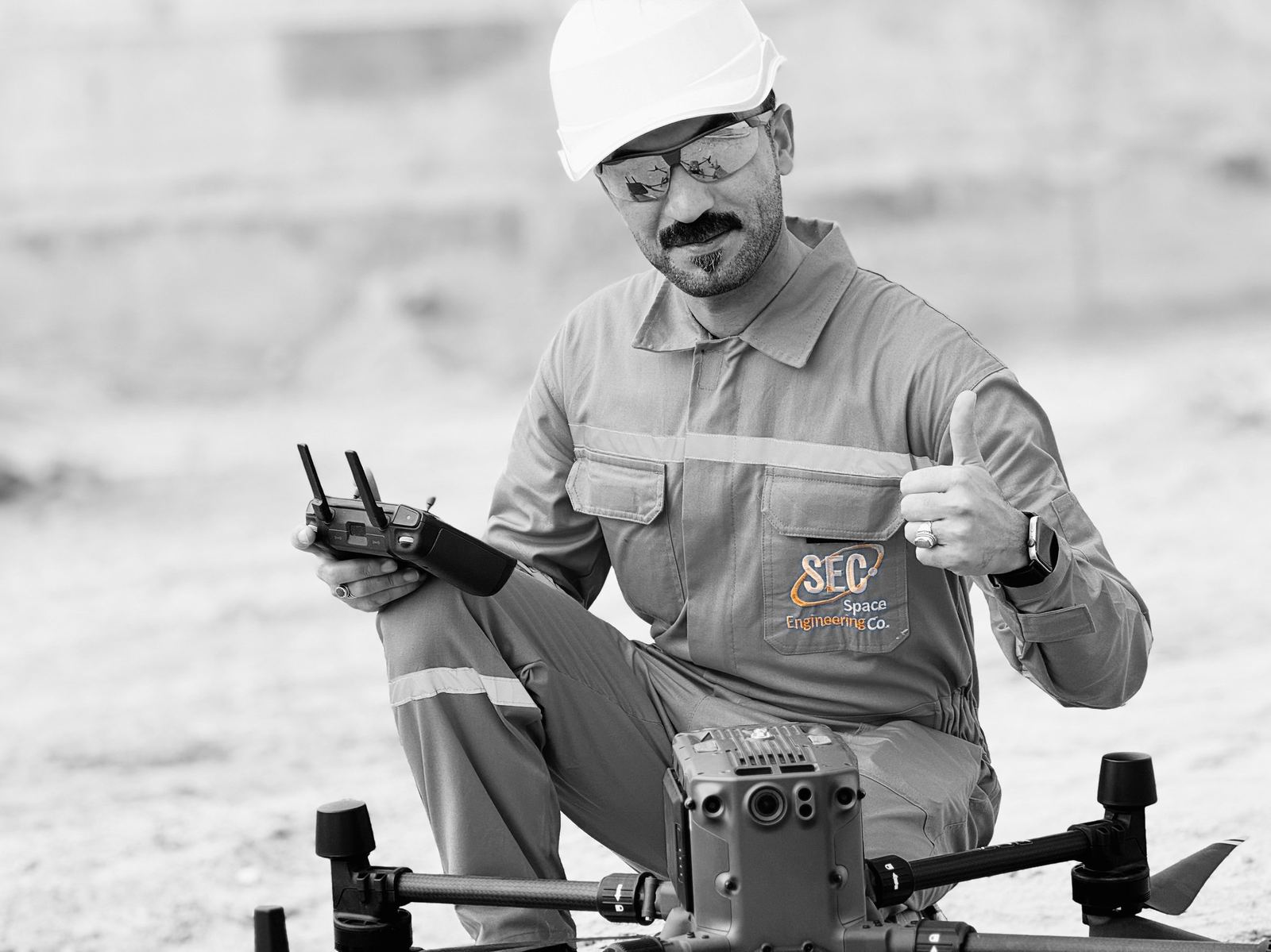
Technology
- DJI Zenmuse L2 aerial LiDAR
- DJI Enterprise UAV platforms
- RTK GNSS ground control
- Photogrammetry & point-cloud processing software
Content derived from SEC Profile 2026, pages p.25–26, p.39–40, p.43–44, p.49–50, p.57–58.
Workflow
- 01Flight planning & permitsMission design, ground control and client/authority coordination.
- 02Ground controlRTK GNSS control points and benchmarks tied to project datum.
- 03AcquisitionLiDAR and RGB acquisition with DJI Enterprise platforms.
- 04Processing & QAPoint-cloud classification, orthomosaic generation, DTM/DSM, accuracy reporting.
Industrial Applications
- Oil & gas field topographic mapping
- Monthly construction progress monitoring
- Corridor & linear infrastructure survey
- Power stations and industrial plants
- Urban area mapping
Deliverables
- Classified LiDAR point clouds (LAS/LAZ)
- Orthomosaics and DTM/DSM rasters
- Contours, cross-sections and volumes
- Progress-monitoring reports
Case studies
Related Projects
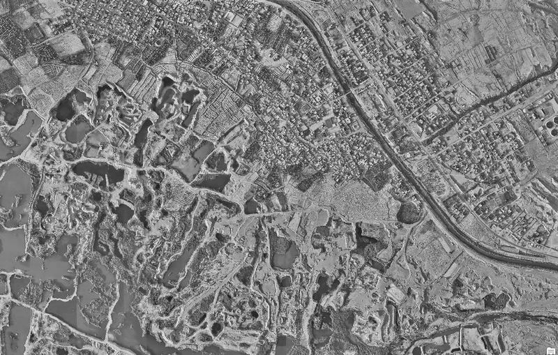
Primary & secondary control points, DEM and point-cloud submission
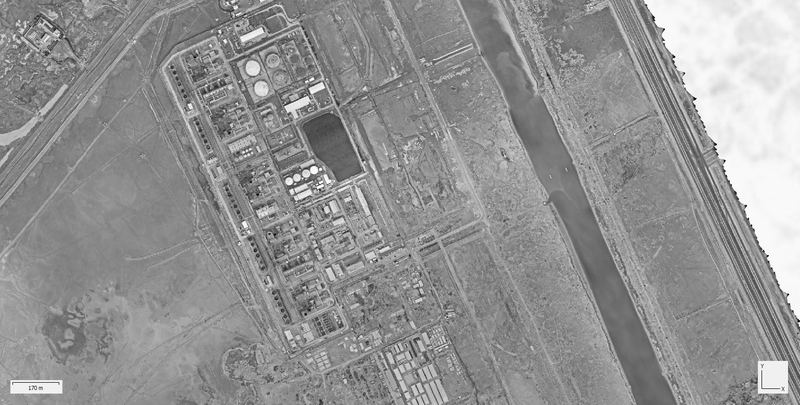
Point-cloud generation and geospatial mapping for Shatt Al-Arab Power Station
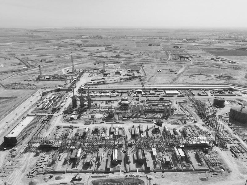
Two years of periodic aerial photography and UAV progress monitoring
Request a quotation
Send us the site location, required deliverables and timeline. We respond within two working days.