Skip to content
SEC – Space Engineering Company

Technologies we operate

Powered by precision

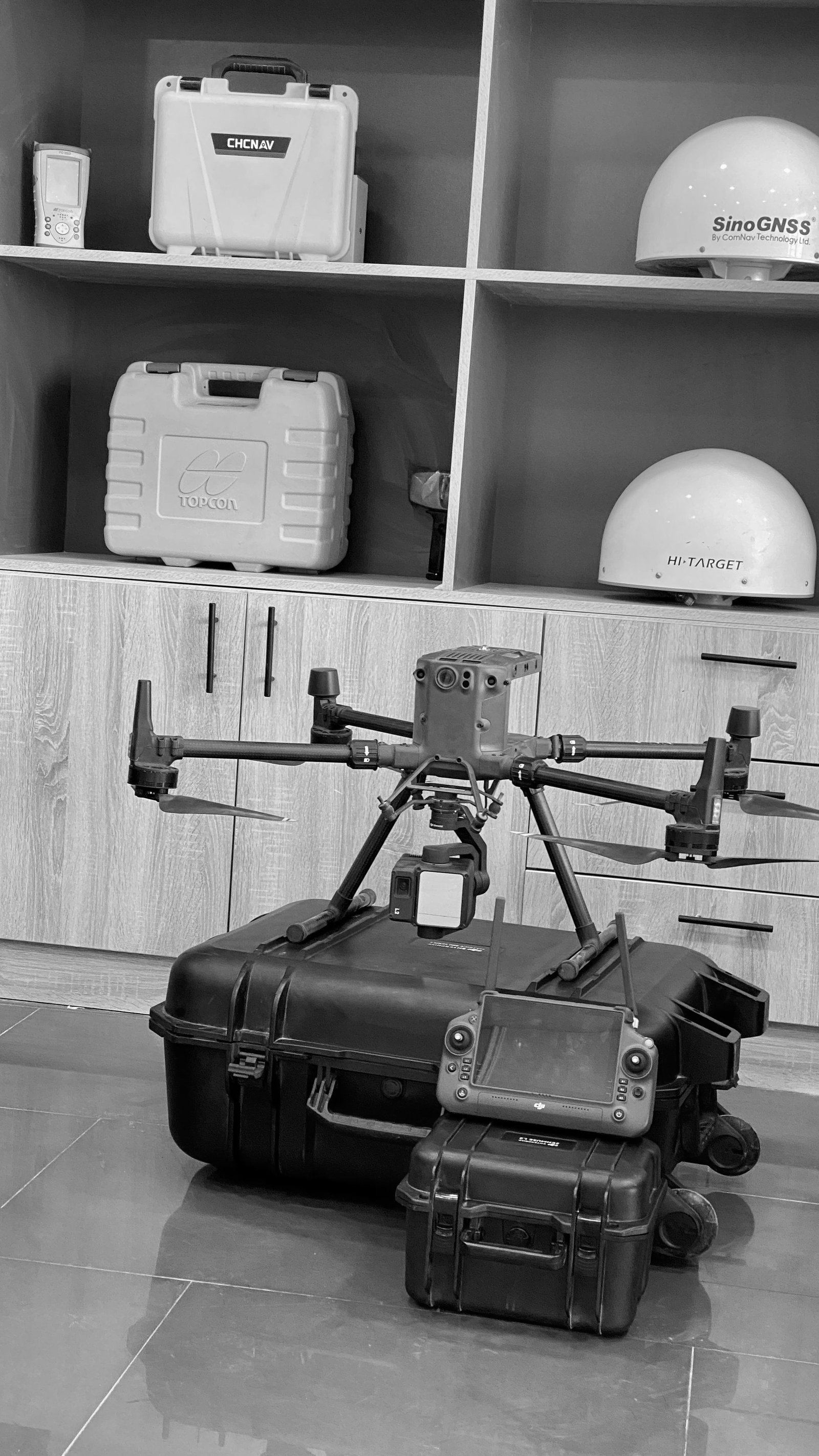
SEC operates advanced surveying, engineering and geospatial technologies supported by qualified technical teams and modern field equipment to ensure accuracy, efficiency and high-quality project delivery.

Operated by SECEquipment SEC owns/operates on its own projects, as documented in the company profile.
Supply category (Trading Division)Category listed by SEC's Trading Division. No brand authorizations are implied.
Distribution authorization soughtSEC is pursuing authorization; status to be confirmed by the manufacturer.
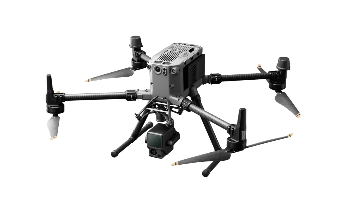
DJI Zenmuse L2
Aerial LiDAR system

DJI Zenmuse L2

DJI

Advanced aerial LiDAR system for terrain mapping, corridor survey and large-scale geospatial data collection, flown on DJI Enterprise platforms.

Operated by SECDistribution authorization sought

DJI and Zenmuse are trademarks of SZ DJI Technology Co., Ltd. SEC operates DJI equipment on its projects; this does not imply DJI endorsement or an authorized dealership.
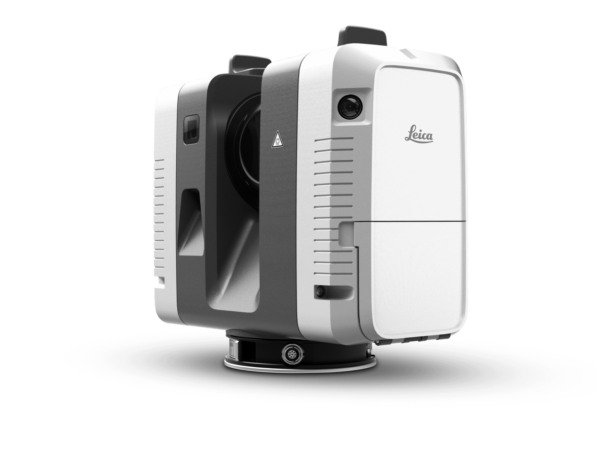
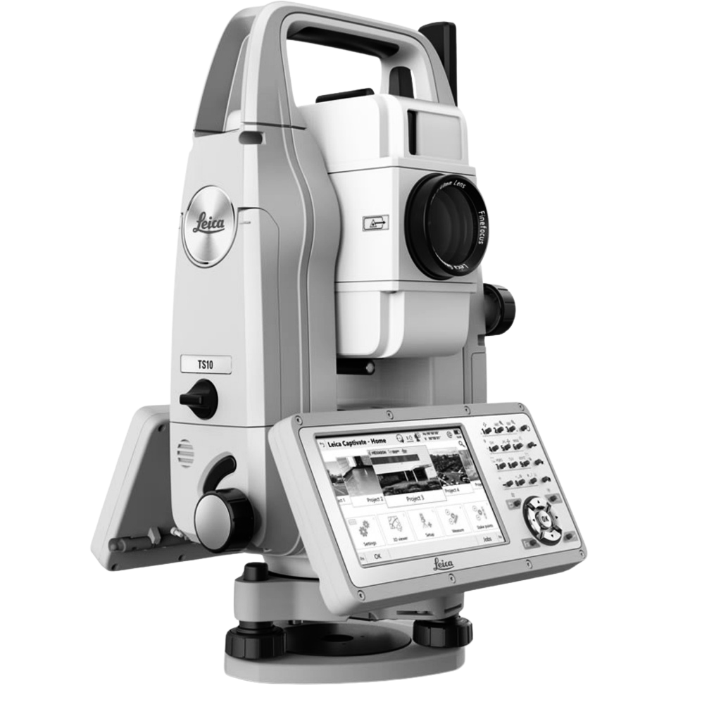
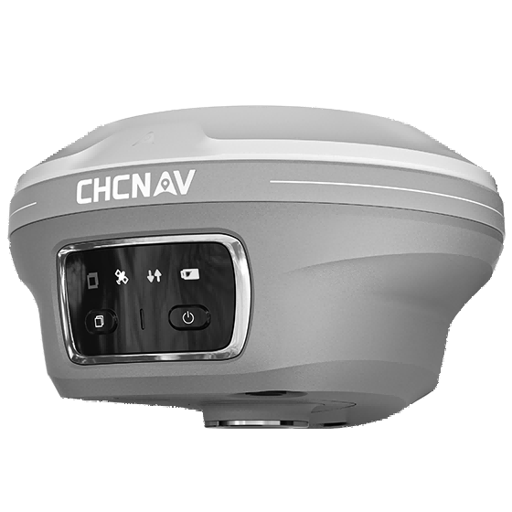
RTK GNSS Receiver
High-precision GNSS positioning

RTK GNSS Receiver

CHCNAV (as pictured)

RTK GNSS receivers for control, topographic, cadastral and hydrographic positioning.

Operated by SECSupply category (Trading Division)

Software & processing

From raw capture to engineering-ready data

Point-cloud classification, photogrammetry, hydrographic processing, geodatabase management and BIM modelling run in SEC's processing office in Basra.

GIS & geodatabase platforms
Point-cloud & BIM software
Photogrammetry & LiDAR processing
Hydrographic processing

Specific software licences and versions to be confirmed by SEC before publication.

Need equipment, not just data?

SEC's Trading Division supplies surveying instruments, GNSS systems and accessories with procurement and logistics support.